Stake attention in this memory
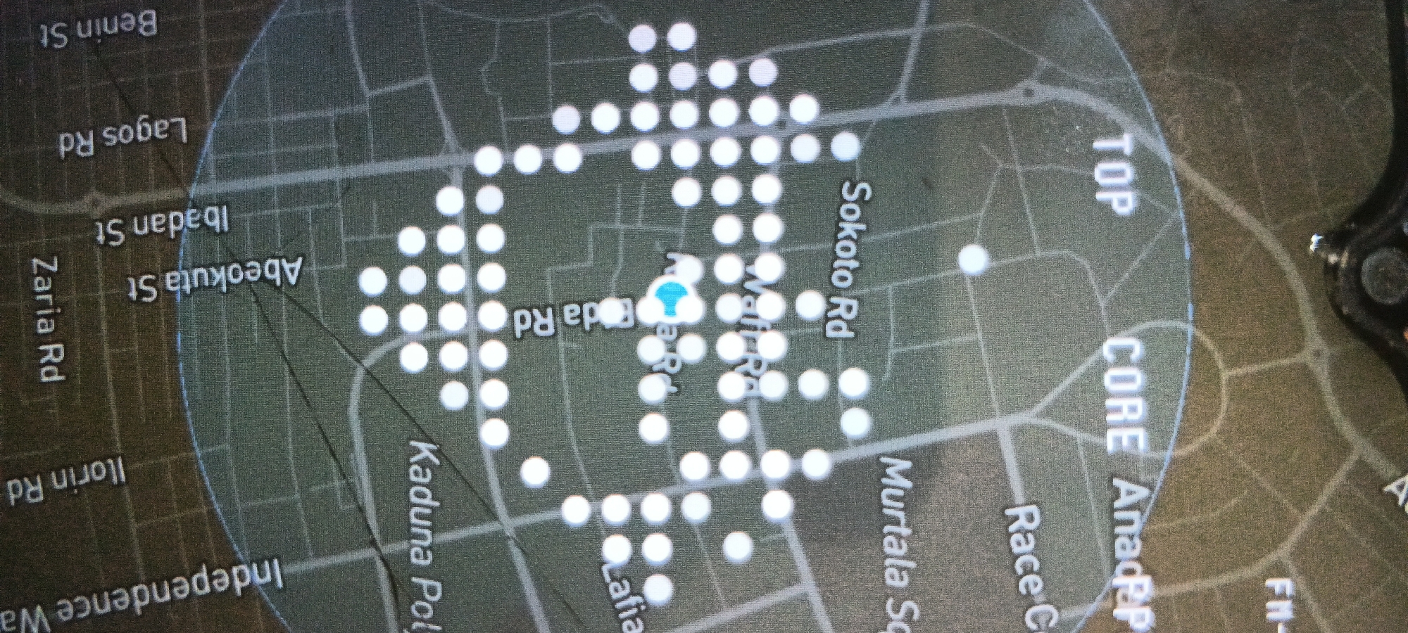
This media file displays a digital map interface, likely from a navigation system or mobile application, presented on a screen. The map features a network of roads and streets, indicated by lighter lines against a darker, textured background. A prominent light blue, teardrop-shaped marker signifies a specific location, positioned centrally on Warri Road. Surrounding this marker, numerous small white circular dots are scattered across the map, suggesting points of interest, user activity, or specific locations within a given radius. A faint, light blue circular boundary encompasses the majority of the visible map area, defining a core zone. Visible text labels identify various roads and places, including "Benin St," "Lagos Rd," "Ibadan St," "Abeokuta St," "Zaria Rd," "Ilorin Rd," "Independence Way," "Kaduna Poly," "Sokoto Rd," "Murtala Sq," "Race C," and "Lafia." Additional labels such as "TOP," "CORE," "AnadRP," and "FM-" are also discernible on the map's periphery. The overall aesthetic is dark-themed. A small portion of a physical device, possibly a car dashboard or phone mount, is visible on the right edge of the image. The location indicated by the road names strongly suggests an area within Nigeria, specifically consistent with the provided context of Shaba, Nigeria.
No transactions found