Stake attention in this memory
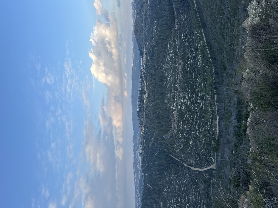
A panoramic landscape photograph captures a wide view of rolling hills and valleys within the Mate Yehuda Regional Council, Israel, observed from an elevated perspective. The upper third of the image shows a light blue sky with scattered white and grey cumulus clouds. The immediate foreground features dry, sparse vegetation, rocks, and exposed soil. The midground is dominated by densely forested hills covered in dark green coniferous trees, with patches of lighter green vegetation or pale ground visible between tree clusters. Several paths and roads traverse the landscape: a light-colored dirt track descends and curves through the forested area on the left, and a dark grey paved road winds through the trees in the center-right. A straighter, narrower dirt path or utility corridor runs horizontally across a lower forested section. On a prominent hill in the central distance, a cluster of buildings with light-colored roofs signifies a settlement, situated within the Mate Yehuda Regional Council. Further distant hills on the horizon show additional, less defined urban or semi-urban development. The scene is illuminated by diffuse natural light. No individuals or specific human activity are discernible.
Loading AttnAds…
No transactions found