
Stake attention in this memory
confusion
overwhelmed
curiosity
discovery
planning
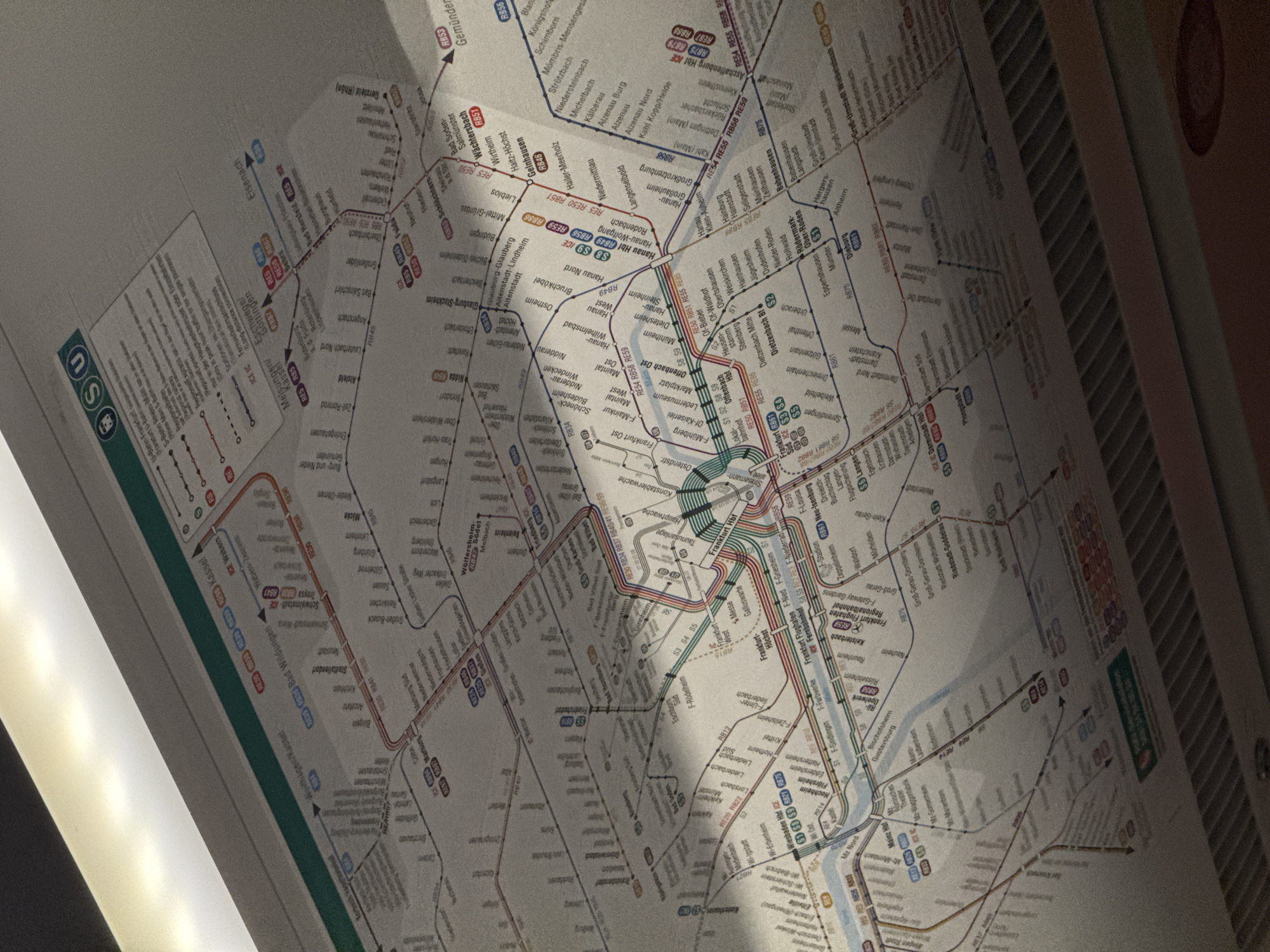
The image displays a close-up, slightly angled view of a public transportation map, likely for the Frankfurt am Main, Germany, metropolitan area. The map shows various train and subway lines, indicated by different colors and line styles, with station names printed along each route. Key areas and stations such as Frankfurt Hbf (main station), Frankfurt Flughafen (airport), and various suburban towns are visible. The map is illuminated from above by a bright light source, creating a glare and casting a shadow across parts of the diagram. The overall impression is of a detailed transit map in a well-lit, indoor environment, possibly inside a train carriage or station.
Loading AttnAds…
transactions
revenues
stakers
Earliest
Latest
Highest stake
No transactions found