Stake attention in this memory
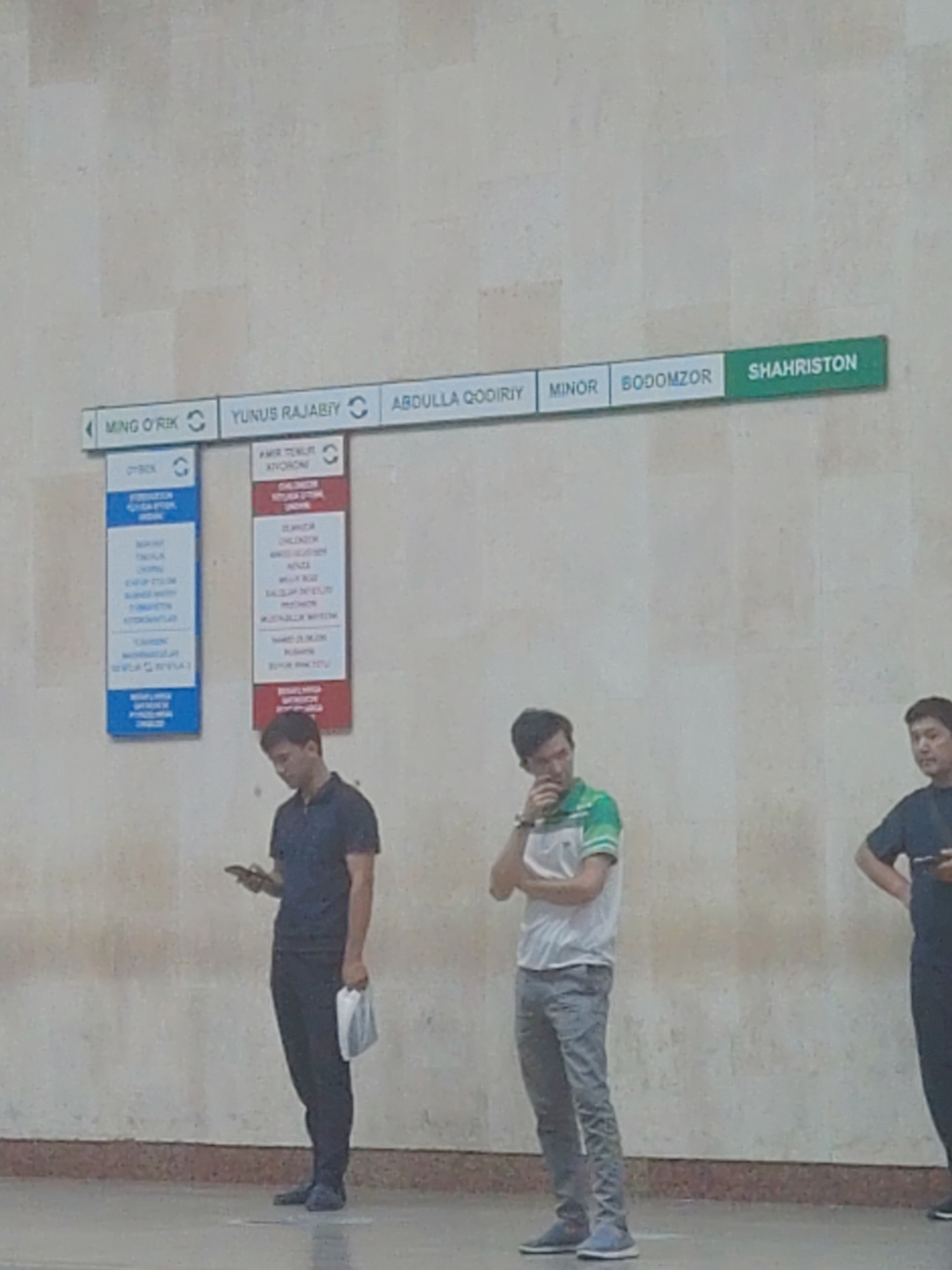
This media file is a photograph of a Tashkent Metro map displayed on a wall. The map shows the different metro lines and stations within Tashkent, Uzbekistan. The main subjects are the graphic elements of the map itself, including colored lines representing different metro routes and circles or icons indicating stations. The title "Toshkent metropoliteni" is prominently displayed at the top, along with a logo that includes the word "METRO". The map is a complex diagram with numerous station names listed in Uzbek. Several station icons include small illustrations of landmarks or facilities, such as a tower, a building with a dome, and an airplane symbol indicating Tashkent Airport. The map uses a color-coding system for the metro lines, with red, black, brown, and yellow lines clearly distinguished. Below the metro map, there is a legend explaining the color coding of the lines. Further down, there are sections displaying social media links and contact information for the Tashkent Metro, including Facebook, Telegram, and Instagram accounts, as well as a phone number. There is also a QR code labeled "SCAN ME!" and a logo for "trastpay." The overall setting appears to be an indoor public space, likely a metro station, given the context of the map. There are no people visible in the photograph, focusing solely on the informational display. The lighting suggests it is daytime, but the specific time of day or weather conditions are not discernible. The image is a clear, well-lit shot of the map, intended to provide information to metro users.
Symbol
E5C19
Volume
2,491
Creator
+$0.00
Revenue
+$0.00
TVL
$0.82