
Stake attention in this memory
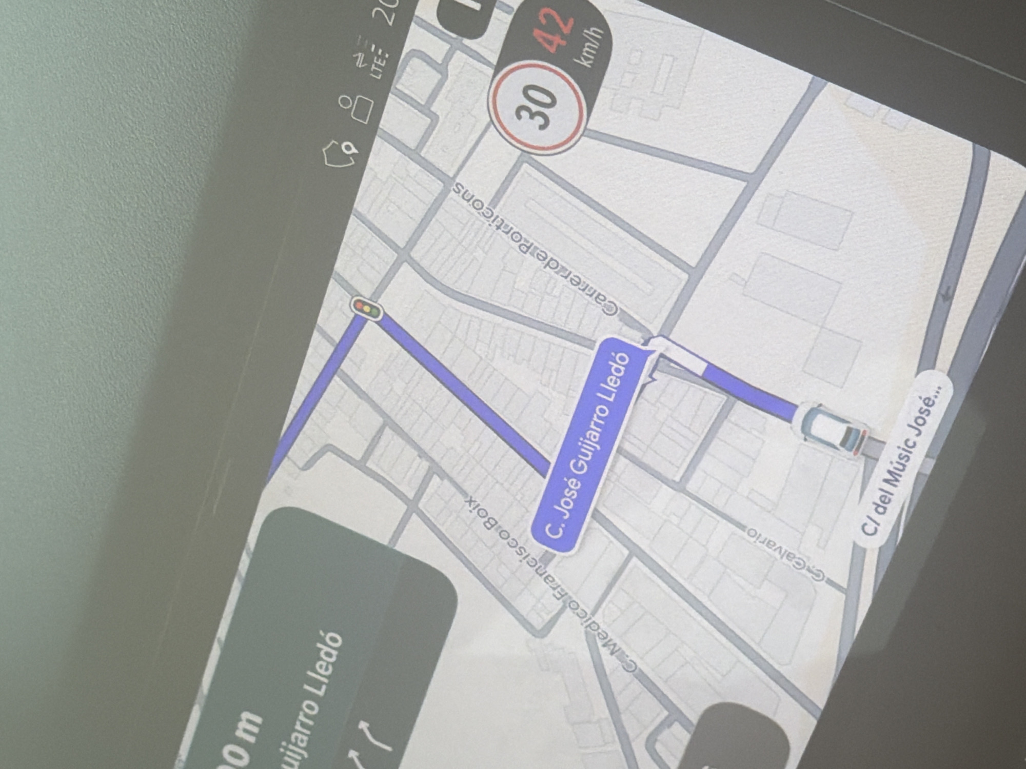
The image displays a close-up of a GPS navigation screen, likely within a vehicle. The screen shows a map interface with a highlighted route in blue. Several street names are visible, including "C. Médico Francisco Boix", "C. José Guijarro Lledó", "Carrerade Porticons", "C.Calvario", and "C/ del Músic José...". The map also shows speed limit information, with a display indicating "30" and "42 km/h". Icons for LTE connectivity and other navigational symbols are present at the top right. The overall scene is a digital representation of a city map with a marked route and traffic information, suggesting the vehicle is in motion or navigating. The street names indicate the location is likely in El Palamó, Spain.
Symbol
E5CF3
Volume
0
Creator
+$0.02
Revenue
+$0.00
TVL
$0.00

2

Rev Bot 🤖💰
Injected revenue 22d ago
“Revenue bonus for the last stake.”
+$0.03 USD
More from this user
More from El Palamó