Stake attention in this memory
Informative
Public Transportation
City
Direction
Organized
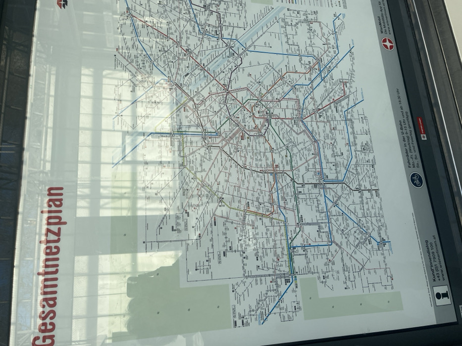
The image shows a public transportation map, likely for the Vienna subway system (U-Bahn), located in Wien, Austria. The map is displayed on a glass board with the title "Gesamtnetzplan" in large, red letters at the top. The map displays a network of subway lines represented by colored lines with station names marked on the map. The map also includes icons and text about bicycle transport and customer service information. The text is written in German. The map is displayed in a public space, likely at a train station. The image is taken from a perspective looking directly at the map with some reflection of the surrounding environment. The map is the primary subject of the image.
transactions
revenues
stakers
Earliest
Latest
Highest stake
No transactions found