
Stake attention in this memory
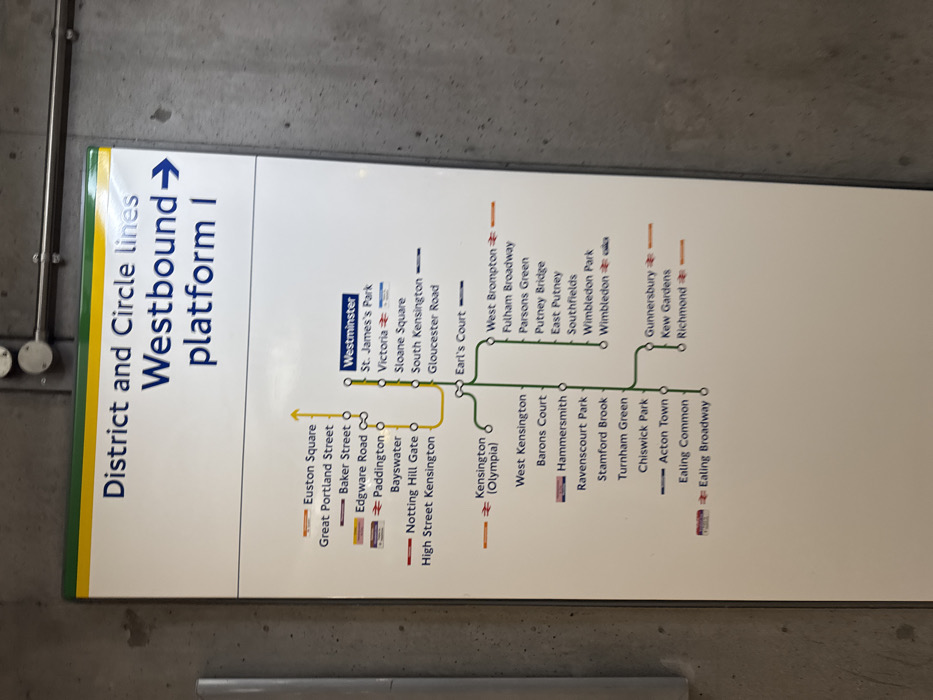
A clear, well-lit sign displaying a section of the London Underground map for the District and Circle lines is the central subject of this image. The sign is mounted vertically on a plain, grey, textured wall, likely within a subway station in London, United Kingdom. The prominent text at the top reads "District and Circle lines Westbound platform 1", indicating its purpose for navigation. The map illustrates the routes and station stops, with the Circle line depicted in yellow and the District line in green. Starting from Westminster, the District and Circle lines share stops including St. James's Park, Victoria, Sloane Square, South Kensington, Gloucester Road, and Earl's Court. From Earl's Court, the District line branches into multiple directions. One branch leads to Wimbledon, listing stations such as West Brompton, Fulham Broadway, Putney Bridge, and Southfields. Another branch of the District line extends through West Kensington, Hammersmith, Turnham Green, Chiswick Park, Acton Town, Ealing Common, and Ealing Broadway. A further branching route from Turnham Green includes Gunnersbury, Kew Gardens, and Richmond. The Circle line is also shown with stations like Euston Square, Great Portland Street, Baker Street, Edgware Road, Paddington, Bayswater, Notting Hill Gate, and High Street Kensington. Various stations, like Kensington (Olympia), Wimbledon, Gunnersbury, and Richmond, are marked with symbols, likely indicating interchange or terminal points. No people or specific time of day are visible in the image.
Loading AttnAds…
No transactions found