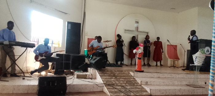
Stake attention in this memory
serene
tranquil
peaceful
remote
rustic
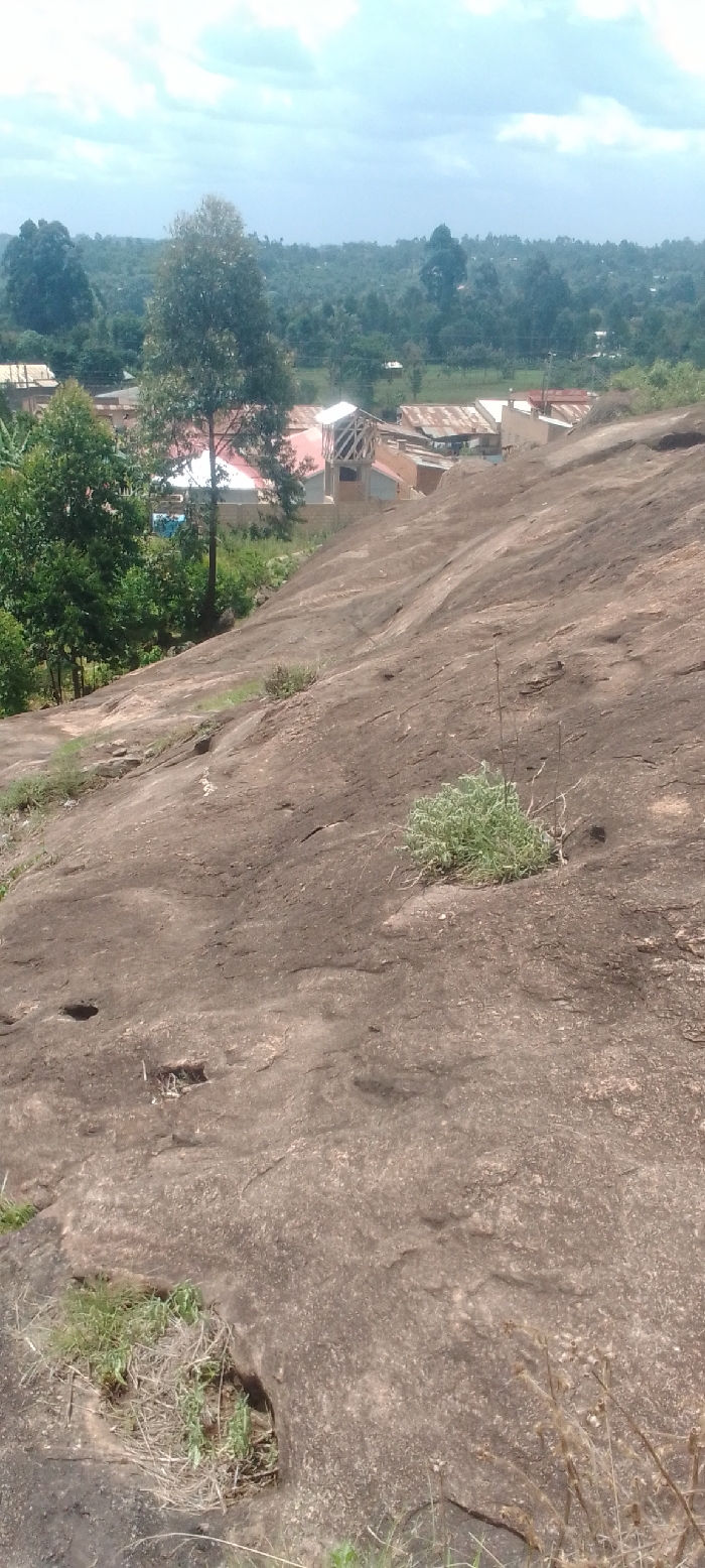
The image shows a large, rocky outcropping in Lugari, Kenya, at the coordinates 0.613 latitude, 34.957 longitude. The outcropping is covered in dry, brown grass and a few scattered small, green plants. The outcropping appears to be part of a larger rock formation or cliff. The top of the outcropping slopes downwards to the foreground. The image is taken from the bottom of the outcropping, looking upwards. In the background, a small village is visible. The village is located at the edge of a dense forest, and the buildings have corrugated metal roofs. There are no people visible in the image. The sky is partly cloudy.
transactions
revenues
stakers
Earliest
Latest
Highest stake
No transactions found