Stake attention in this memory
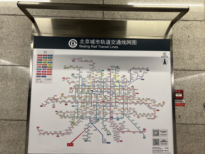
The image captures a detailed map of the Beijing Rail Transit Lines displayed prominently on a wall in what appears to be a subway station. A metallic frame or fixture is positioned above the map. The central subject is the comprehensive rail network map, titled "北京市轨道交通线网图" (Beijing Rail Transit Lines) in both Chinese and English, accompanied by the Beijing Metro logo. A legend on the left side of the map lists various lines, such as Line 1, 2, 4, 5, 6, 7, 8, 9, 10, 13, 14, 15, 16, 17, 19, Capital Airport Express, Daxing Airport Express, S1, Yizhuang Line, Fangshan Line, Yanfang Line, Changping Line, and Xijiao Line, each represented by a distinct color. A compass indicating "北 NORTH" is located in the upper right corner of the map. The map itself is intricately designed, showing a dense web of interconnected routes and numerous station names in Chinese. In the bottom right section of the map, two QR codes are visible, along with contact numbers "12328" and "96123", likely for customer service or information. On the wall immediately to the right of the map, a red emergency device, possibly a fire alarm or call point, is mounted. It has text "001-L00016" printed on it. The wall itself has a textured, light-colored surface. The scene is brightly lit, typical of an indoor public space. There are no people visible in the image. The location is clearly established as Beijing, China, through the map's title.
Loading AttnAds…
No transactions found