Stake attention in this memory
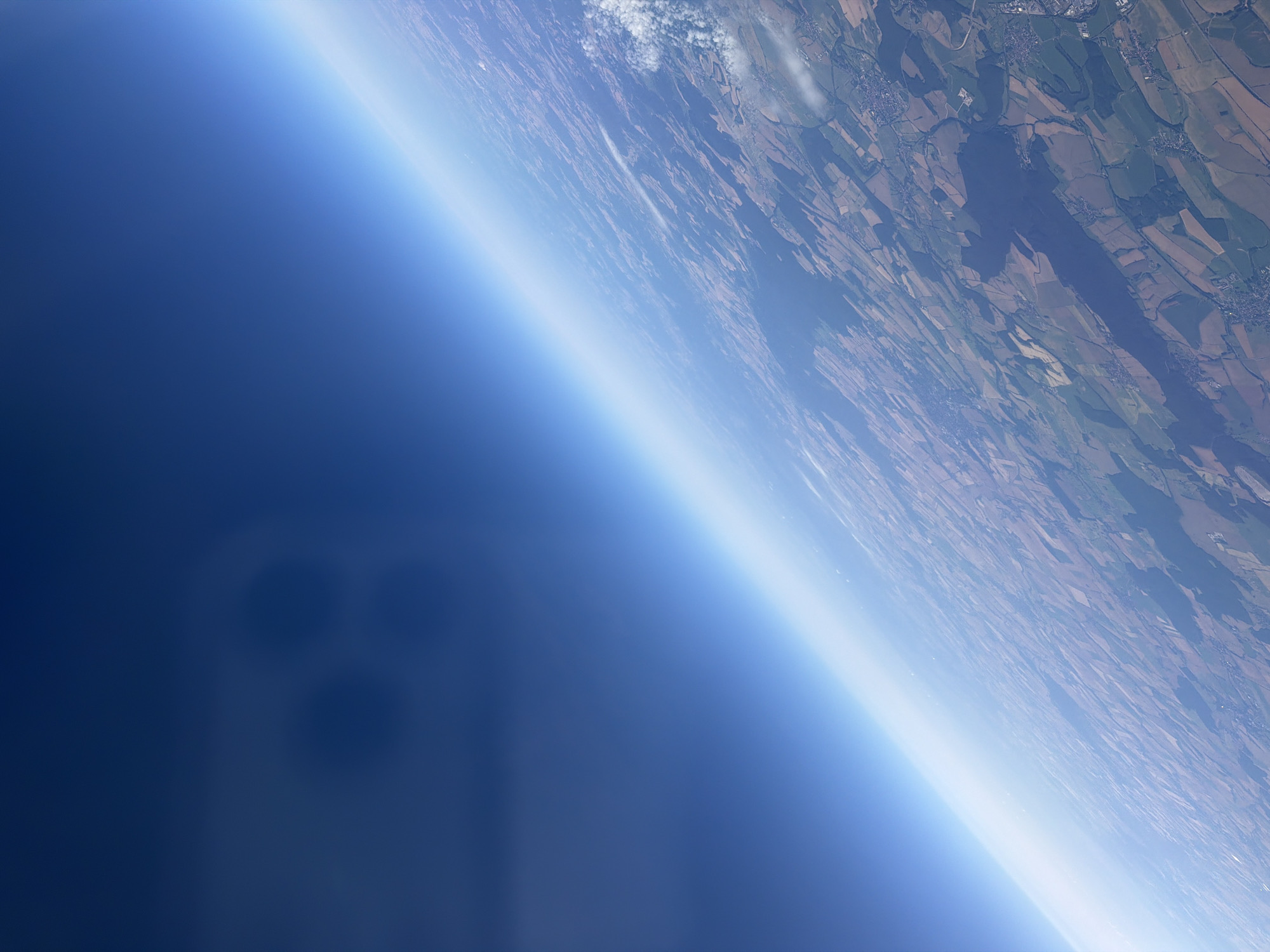
The image is an aerial view looking down at the earth's atmosphere and landscape from a high altitude. The upper portion of the image is dominated by a deep blue sky, transitioning to a lighter blue and then to a hazy white band at the horizon, representing the curvature of the Earth and atmospheric layers. Below this atmospheric layer, the landscape is visible, appearing as a patchwork of fields with varying colors of brown, green, and tan. Some areas show signs of human habitation, with visible towns and roads. There are also some scattered white clouds in the lower right quadrant. In the upper left portion of the image, there are four dark, circular, blurry shapes that appear to be reflections or shadows on the camera lens or window. The location is identified as the city of Werl, Germany, which can be inferred from the details of the landscape showing agricultural fields and urban development consistent with that region.
Loading AttnAds…
No transactions found