Stake attention in this memory
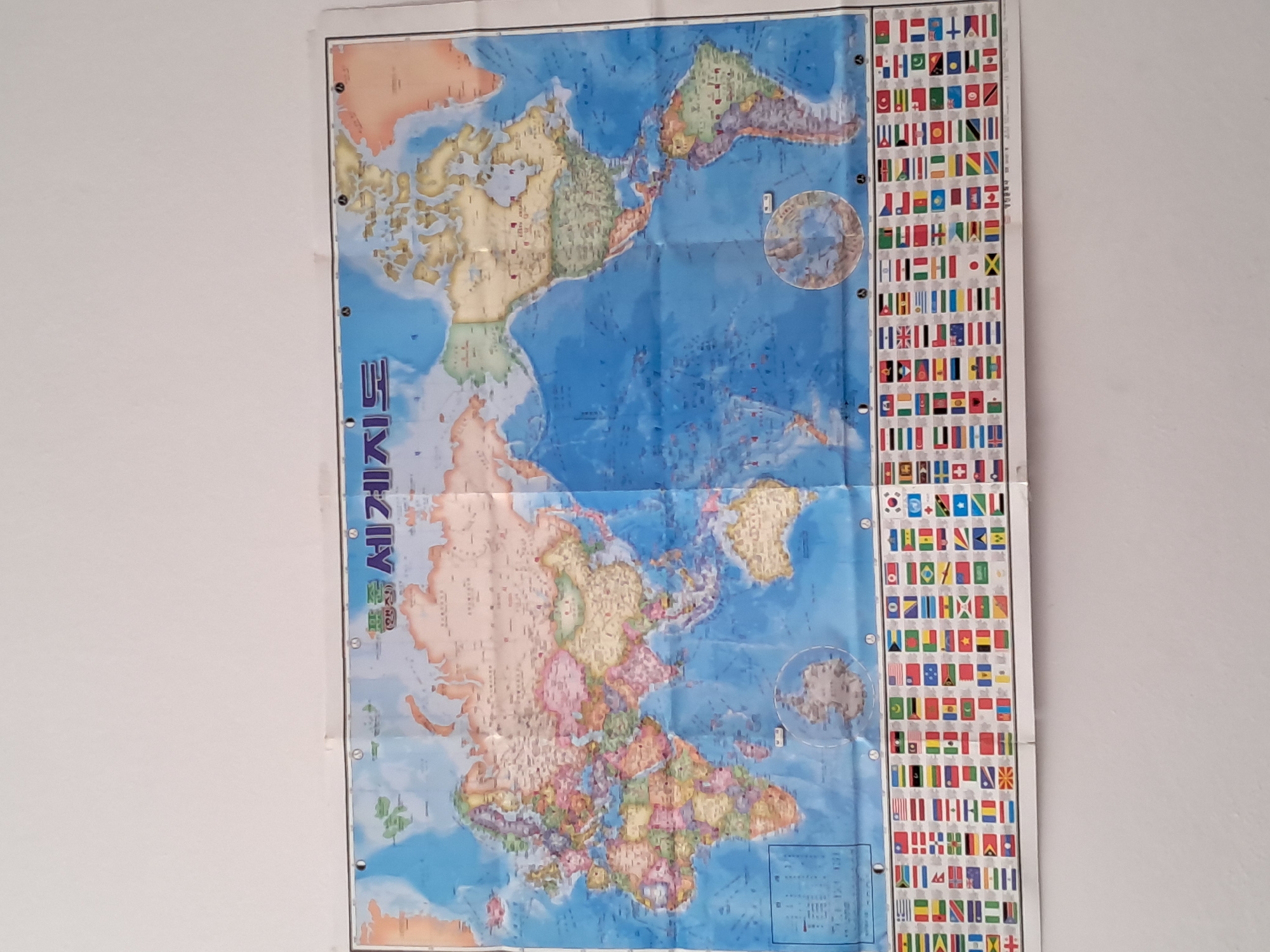
A large, colorful world map is prominently displayed on a plain, light-colored wall, likely indoors. The map is vertically oriented and shows visible creases from being folded. It appears to be a political map, with different countries distinguished by various colors, and oceans depicted in blue. The map's projection seems to emphasize the Pacific Ocean, with North and South America to the right and Asia and Europe to the left in the upper section. Along the left edge of the map, vertically written Korean text is visible, which reads "세계지도" (Segye Jido), translating to "World Map." To the right of the main map, a narrow vertical panel displays a comprehensive collection of national flags from numerous countries, arranged in a grid-like pattern. Small circular insets are present on the map; one in the upper right corner likely illustrates the Arctic region, and another in the lower right corner probably shows Antarctica. Small, dark circular points are visible along the map's edges, possibly grommets for hanging. The overall setting is simple, focusing entirely on the informational content of the map.
Symbol
E8F2D
Volume
0
Creator
+$0.01
Revenue
+$0.00
TVL
$0.00
2
Rev Bot 🤖💰
Injected revenue 25d ago
“Revenue bonus for the last stake.”
+$0.03 USD