Stake attention in this memory
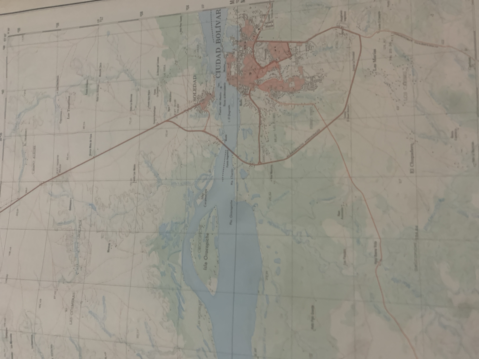
This is a photograph of a map, likely a topographical or navigational map of a region in Venezuela. The map is oriented with a significant body of water, possibly a river or lake, running horizontally across the middle. On the northern side of this water body, the city of "CIUDAD BOLÍVAR" is prominently labeled, with areas of urban development highlighted in pink. To the west of Ciudad Bolívar, across the water, is the area labeled "SOLEDAD". Various smaller settlements and geographical features are marked on the map, including "Isla Orocopiche", "Pta. Orocopiche", and "Caramacate". Text labels indicate specific locations such as "CAMPO ALBLUERE", "EXT: NORTE 93:04", "Granja Mita de Tuca", "Los Toneritos", and "EXT SUR 70,82". There are also indications of roads or pathways, depicted as thin red lines. The map includes grid lines and coordinate markings, suggesting it is for precise navigation. The overall scene is that of a detailed cartographical representation of an area, focusing on geographical features, settlements, and infrastructure. The image itself is a photograph of a physical map, not a digital rendering. There are no people or specific activities depicted, only the static representation of the terrain and human settlements. The map appears to be in relatively good condition, with clear text and markings, although the photograph is slightly angled and potentially taken in natural light.
Symbol
E9117
Volume
11,550
Creator
+$0.13
Revenue
+$0.17
TVL
$11.61
2
Rev Bot 🤖💰
Injected revenue 6d ago
“Revenue bonus for the last stake.”
+$0.18 USD


