Sign in
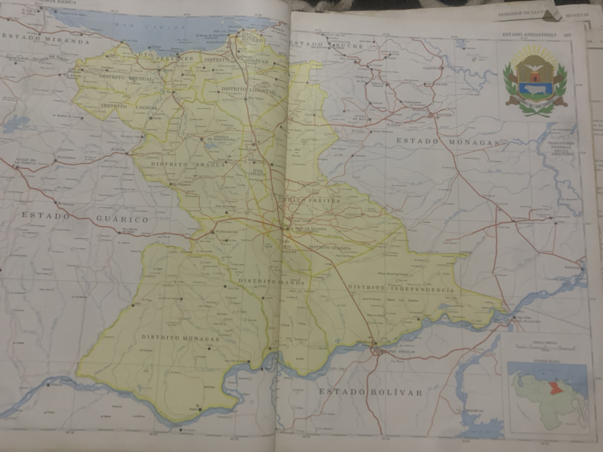
The media file is a photograph of an open book displaying a map of Venezuela. The map is detailed, with state and district boundaries clearly delineated and labeled in Spanish. Several towns and cities are marked with circles and names. Major rivers and bodies of water are also depicted.

The map is primarily colored in shades of yellow and white for landmasses, with blue representing water. Red lines indicate roads or transportation routes. The text visible on the map includes names of states such as "ESTADO MIRANDA," "ESTADO SUCRE," "ESTADO MONAGAS," and "ESTADO BOLÍVAR." It also shows names of districts like "DISTRITO PESALVER," "DISTRITO BRUZUAL," "DISTRITO LIBERTAD," "DISTRITO ARAGUA," "DISTRITO MONAGAS," "DISTRITO GUANIPA," "DISTRITO MANGA," and "DISTRITO INDEPENDENCIA." Additionally, names of cities and towns like "PTO LA CRUZ," "BARCELONA," "ZARAZA," "MATUREN," and "SAN TOME" are present.

In the upper right portion of the map, there is a coat of arms, which appears to be that of a Venezuelan state, possibly Anzoátegui, given the text "ESTADO ANZOATEGUI" nearby. There are also inset maps or diagrams, one showing a small outline map of Venezuela with a highlighted region, and another labeled "GRASA URBANA" and "DENSIDAD NACIONAL."

The lighting suggests the photograph was taken indoors, possibly under artificial light, as there are no indications of natural daylight or specific weather conditions. The focus is on the map itself, with the surrounding book pages slightly out of focus. No people are visible in the image. The overall subject is geographical information presented on a map.
bombolico

Jun 25, 2026, 2:36 PM

La Tagua, Venezuela

Moment

Stake attention in this memory

curiosity
discovery
exploration
planning
adventure

The media file is a photograph of an open book displaying a map of Venezuela. The map is detailed, with state and district boundaries clearly delineated and labeled in Spanish. Several towns and cities are marked with circles and names. Major rivers and bodies of water are also depicted. The map is primarily colored in shades of yellow and white for landmasses, with blue representing water. Red lines indicate roads or transportation routes. The text visible on the map includes names of states such as "ESTADO MIRANDA," "ESTADO SUCRE," "ESTADO MONAGAS," and "ESTADO BOLÍVAR." It also shows names of districts like "DISTRITO PESALVER," "DISTRITO BRUZUAL," "DISTRITO LIBERTAD," "DISTRITO ARAGUA," "DISTRITO MONAGAS," "DISTRITO GUANIPA," "DISTRITO MANGA," and "DISTRITO INDEPENDENCIA." Additionally, names of cities and towns like "PTO LA CRUZ," "BARCELONA," "ZARAZA," "MATUREN," and "SAN TOME" are present. In the upper right portion of the map, there is a coat of arms, which appears to be that of a Venezuelan state, possibly Anzoátegui, given the text "ESTADO ANZOATEGUI" nearby. There are also inset maps or diagrams, one showing a small outline map of Venezuela with a highlighted region, and another labeled "GRASA URBANA" and "DENSIDAD NACIONAL." The lighting suggests the photograph was taken indoors, possibly under artificial light, as there are no indications of natural daylight or specific weather conditions. The focus is on the map itself, with the surrounding book pages slightly out of focus. No people are visible in the image. The overall subject is geographical information presented on a map.

Symbol

E9B71

Volume

0

Creator

+$0.09

Revenue

+$0.00

TVL

$0.00

1D
1W
1M
All

Loading AttnAds…

transactions
revenues
stakers
Earliest
Latest
Highest stake

1

Ramón

Staked 10d ago
Redeemed 7d ago

$7.22 USD

+$0.01 USD

Fee: $0.04 (0.5%)

+0.2%

2

Rev Bot 🤖💰

Injected revenue 10d ago

Revenue bonus for the last stake.

+$0.14 USD

More from this user

More from La Tagua

bombolico

Jun 25, 2026, 2:36 PM

La Tagua, Venezuela

Licensed under Creative Commons Attribution 4.0 International License. You are free to share and adapt this content with proper attribution.





