Stake attention in this memory
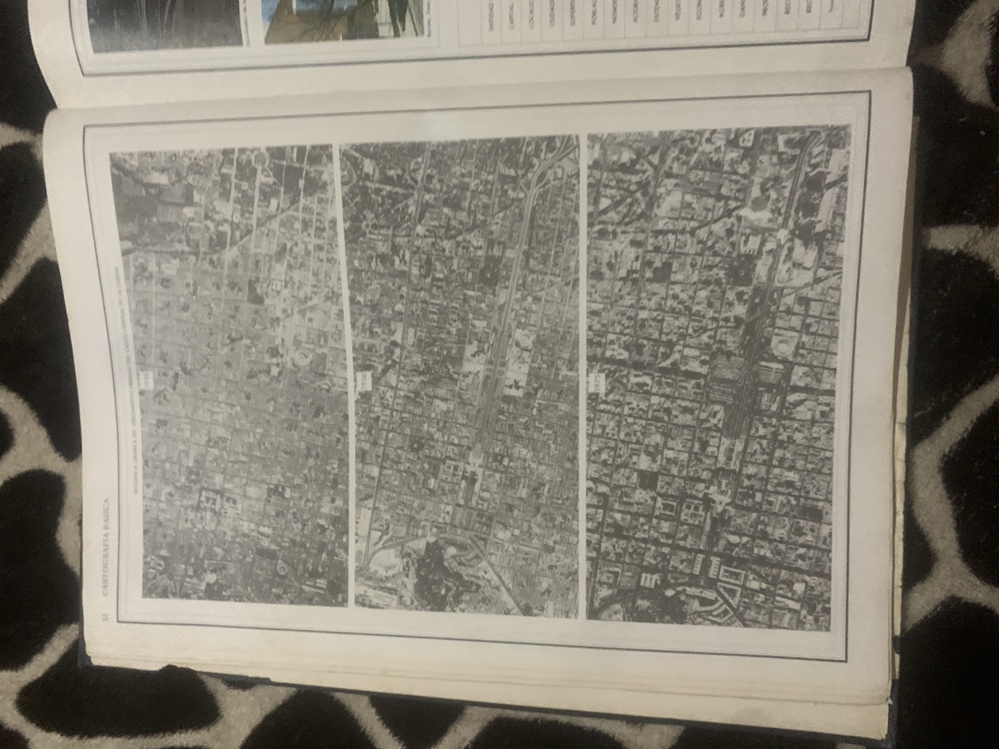
The image is a spread from a book showing aerial photographs of a city. The left page displays three aerial photographs stacked vertically, each labeled with a year: 1936, 1956, and 1975. These images appear to be of an urban area, showing development and changes over time with a grid-like street pattern. The top photograph from 1936 shows a less developed area, while the subsequent images show increasing urban density. The right page contains text organized into columns, with headings such as "ENTIDAD FEDERATIVA," "CAPITAL," "LOCALIDAD," and other descriptive terms which appear to be related to geographical or statistical data. A small portion of another aerial photograph or illustration is visible at the top right of the page. The overall context suggests a study or report on urban growth and cartography. The text mentions "LA TAGUA, VENEZUELA" in the context of the photographs.
Symbol
EA89C
Volume
0
Creator
+$0.03
Revenue
+$0.00
TVL
$0.00
Loading AttnAds…

2

Rev Bot 🤖💰
Injected revenue 2mo ago
“Revenue bonus for the last stake.”
+$0.05 USD





