Stake attention in this memory
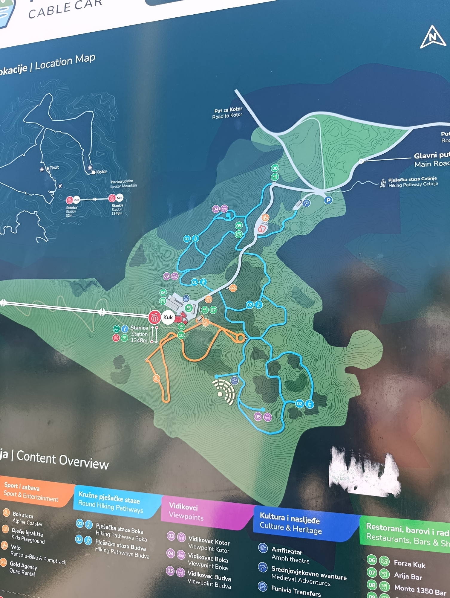
This is a photograph of a large, wall-mounted map titled "CABLE CAR" and "lokacije | Location Map". The map depicts a mountainous area with various trails, points of interest, and transportation routes. In the bottom left of the map, a section labeled "ja | Content Overview" lists categories such as "Sport i zabava | Sport & Entertainment", "Kružne pješačke staze | Round Hiking Pathways", "Vidikovci | Viewpoints", "Kultura i naslijeđe | Culture & Heritage", and "Restorani, barovi i rad | Restaurants, Bars & Sh". On the left side of the map, there are two stations marked: "Stanica | Station 32m" labeled "Dub", and "Stanica | Station 1348m" labeled "Kuk". A cable car line is depicted connecting these two stations. The city of Dub is indicated as a location on this map. The map shows a network of hiking trails in different colors, as well as roads and other features like a playground and an amphitheater. There are also numbered icons representing various points of interest, such as viewpoints and restaurants. The map includes a compass rose indicating North. The overall environment depicted is natural and mountainous, with contour lines suggesting elevation changes. The map itself appears to be in good condition, though there is some glare and a small white smudge partially obscuring a section of the map in the lower right quadrant. The photograph is taken from a slightly angled, eye-level perspective, capturing the entire map.
No transactions found