Stake attention in this memory
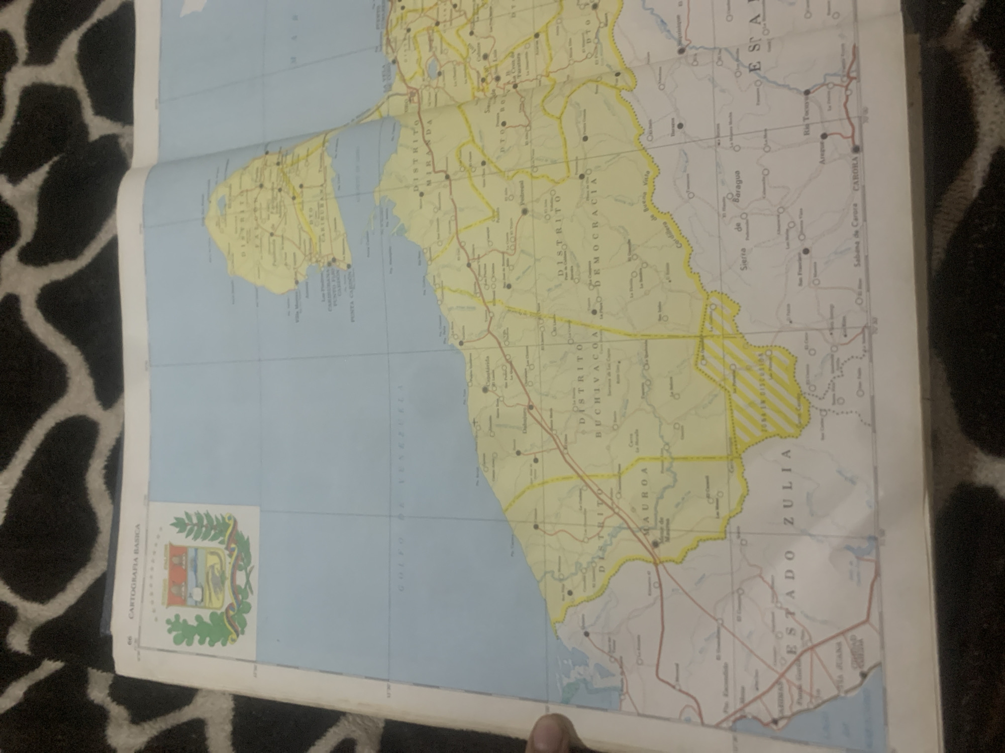
The image shows a close-up, slightly angled view of an open map, possibly a road atlas, laid flat on a dark, textured surface resembling a rug with a giraffe-like pattern. The map itself is predominantly light yellow and blue, with red lines indicating roads and black circles marking towns and cities. Several place names are visible, written in Spanish, including "DISTRITO MIRANDA," "DISTRITO BUCHIVACOA," "DISTRITO MAUROA," and "ESTADO ZULIA." There are also geographical features labeled, such as "GOLFO DE VENEZUELA" and "SIERRA de Baragua." A small image of a coat of arms, likely a national emblem, is visible in the bottom left corner, accompanied by the text "CARTOGRAFIA BASICA." A person's finger is visible at the very bottom of the frame, suggesting someone is holding or interacting with the map. The map appears to be detailed, indicating a focus on regional geography and infrastructure. The lighting suggests an indoor setting.
Loading AttnAds…
No transactions found





