
Sign in
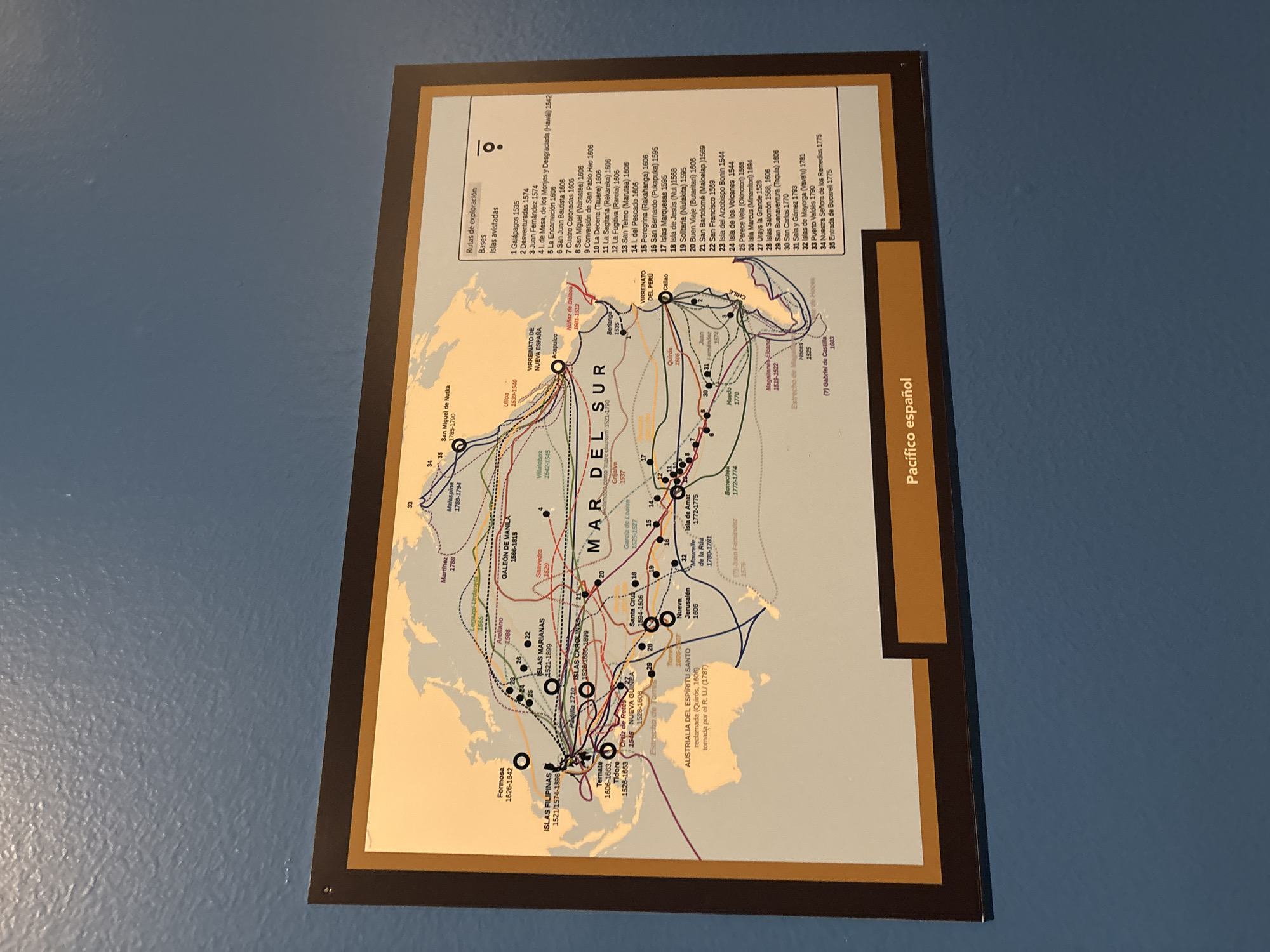
A framed map titled "Pacífico español" hangs on a blue wall. The map depicts the Pacific Ocean with marked routes of exploration, bases, and sighted islands. The map is mounted in a dark brown frame with a lighter brown border. The map includes depictions of islands in the South Pacific and the coasts of North and South America. The map's legend lists different exploration routes. The image was taken indoors.
Tamara

Apr 3, 2026, 6:26 PM

Mexico City, Mexico

Stake attention in this memory

Historical
Informative
Geographic
Educational
Nostalgic

A framed map titled "Pacífico español" hangs on a blue wall. The map depicts the Pacific Ocean with marked routes of exploration, bases, and sighted islands. The map is mounted in a dark brown frame with a lighter brown border. The map includes depictions of islands in the South Pacific and the coasts of North and South America. The map's legend lists different exploration routes. The image was taken indoors.

Loading AttnAds…

transactions
revenues
stakers
Earliest
Latest
Highest stake

No transactions found

More from this user

More from Mexico City

Tamara

Apr 3, 2026, 6:26 PM

Mexico City, Mexico

Licensed under Creative Commons Attribution 4.0 International License. You are free to share and adapt this content with proper attribution.