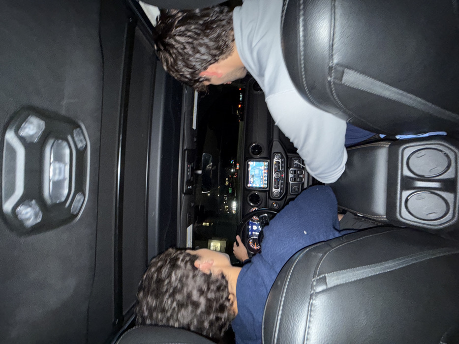
Stake attention in this memory
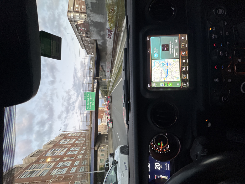
The image, taken from the driver's perspective inside a vehicle, depicts a multi-lane highway scene in an urban environment. **Vehicle Interior:** The dashboard of the vehicle is visible, featuring a digital instrument cluster on the left displaying "20 MPH," "PRND," and an odometer reading of "23101 mi." The central infotainment screen shows an Apple CarPlay interface with a map displaying the Boston metropolitan area, specifically labeling "Somerville," "Cambridge," and "Brookline." A blue dot indicates the current vehicle's location on a highway. The screen also shows a weather widget with temperatures "70°F" (internal) and "64°F" (external), and a music player indicating "Supuestamente" by Ozuna and Anuel AA, with a duration of "17 min home." The time "6:18" is also visible. Below the screen are various physical climate and media controls. A portion of the steering wheel is visible on the left. **Exterior Environment and Location:** The vehicle is on a highway, identified by an overhead green sign displaying "EXIT 133 Prudential Ctr Copley Square 1 1/2 Miles." This positions the vehicle on Interstate 90 East (Massachusetts Turnpike) in Boston, Massachusetts, approaching the Copley Square and Prudential Center exit. While the exact physical location is within Boston, the navigation map on the infotainment system prominently displays "Brookline" to the southwest of the current vehicle's position, indicating its proximity to the town of Brookline within the greater Boston metropolitan region. **Traffic and Surroundings:** Moderate to heavy traffic is present, with numerous vehicles ahead displaying illuminated red taillights. To the left, a large multi-story brick building with many windows stands prominently. To the right of the highway, a concrete barrier wall separates the roadway from railway tracks covered in graffiti, including the visible tag "KLEHO." Beyond the tracks, an elevated bridge structure and other distant brick buildings are visible. Multiple overpass bridges span the highway above. The sky is overcast with grey and white clouds, indicating either dusk or dawn. A white vehicle with "ALVIN INC" partially visible on its side is adjacent to the camera vehicle on the left.
No transactions found