Stake attention in this memory
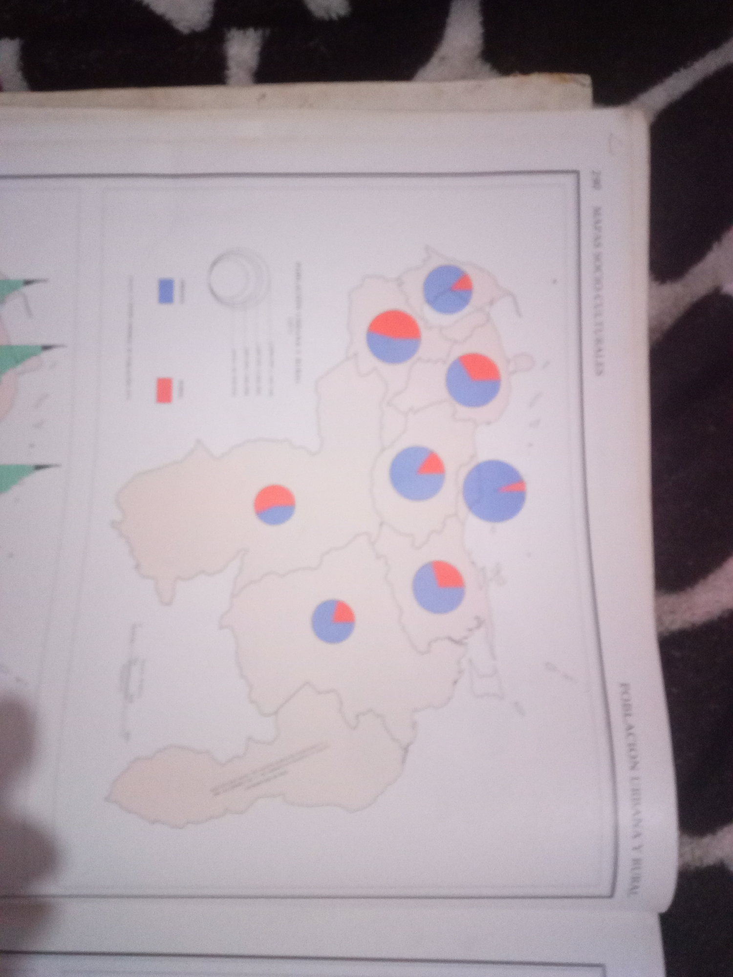
The image displays a page from a book featuring a map of Venezuela with overlaid pie charts representing population distribution. The map outlines the country's states, and several pie charts are placed within these regions. Each pie chart is divided into two colors: blue and red. A legend on the left side of the page indicates that a blue square corresponds to urban population and a red square corresponds to rural population. There are no people or specific individuals visible in the image. The environment is that of a printed document, likely a book or atlas, with a black and white textured background visible at the top. The text "POBLACIÓN URBANA Y RURAL" is visible vertically on the right side of the page, confirming the map's theme. The city of La Tagua, Venezuela is not explicitly labeled or highlighted on the map.
Symbol
EB9BF
Volume
11,550
Creator
+$0.03
Revenue
+$0.03
TVL
$2.39
Loading AttnAds…

2

Rev Bot 🤖💰
Injected revenue 3mo ago
“Revenue bonus for the last stake.”
+$0.04 USD






