
Stake attention in this memory
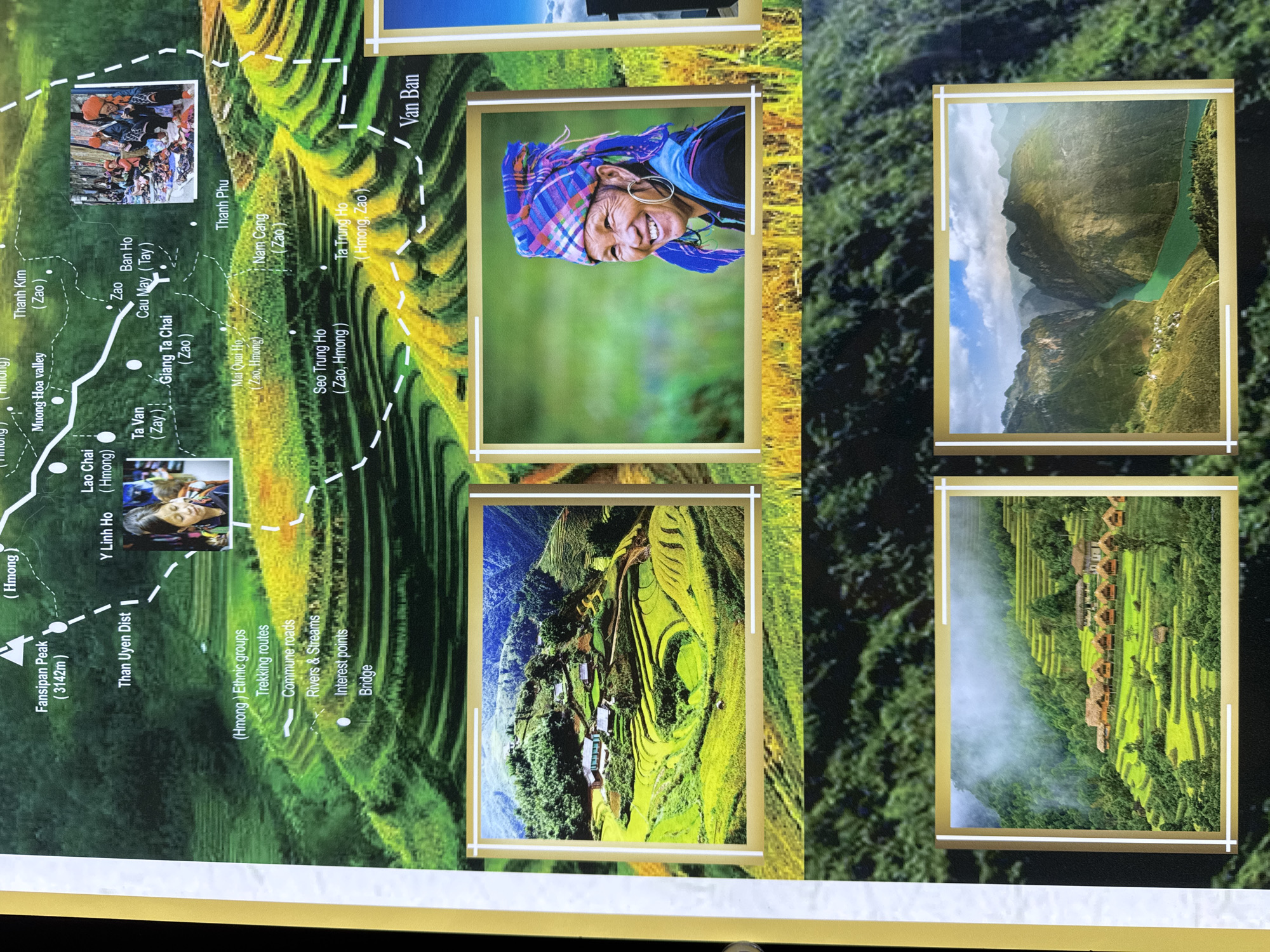
The image depicts a map or informational display, likely for tourists. The top left shows the area around Fansipan Peak, Muong Hoa Valley, and the town of Sapa, Vietnam, located in the Lào Cai Province. It includes various locations such as Thanh Kim, Lao Chai, Y Linh Ho, Ta Van, Giang Ta Chai, Thanh Phu, Nam Cang, and Van Ban. The display includes images within gold frames. One image features a woman with a traditional headdress, smiling broadly. Two other images feature landscapes of terraced rice fields and houses clinging to hillsides. Another shows a river gorge. The map uses dashed white lines to indicate trekking routes, solid white lines to indicate commune roads, and white lines with a zigzag pattern to indicate rivers and streams. Interest points are marked with white dots. Text on the map identifies different ethnic groups as Hmong, Zao, and Tay. The map also shows the location of bridges.
Loading AttnAds…
No transactions found