
Stake attention in this memory
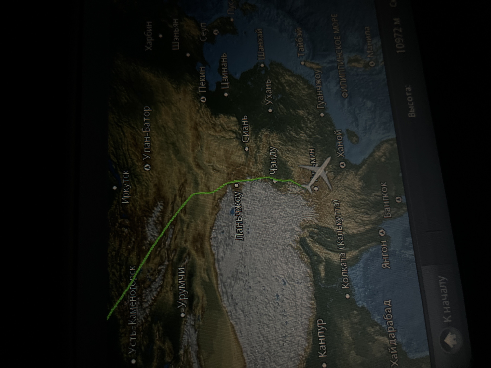
The image displays a slanted, close-up shot of a screen, likely an in-flight entertainment display, showing a live flight map. The map depicts a geographical area covering parts of East Asia, Southeast Asia, and Central Asia, with a clear focus on China and its surrounding regions. A green line traces the flight's past trajectory, originating from the northwest (Ust-Kamenogorsk area) and extending towards the southeast. A small white airplane icon marks the current position of the aircraft, which appears to be flying over the mountainous terrain of southwestern China, near the city of Chengdu and heading towards Southeast Asia. Numerous city names and geographical features are visible on the map, predominantly written in Cyrillic script. Notable cities include: Иркутск (Irkutsk), Усть-Каменогорск (Ust-Kamenogorsk), Улан-Батор (Ulaanbaatar), Харбин (Harbin), Шэньян (Shenyang), Пекин (Beijing), Сеул (Seoul), Пусан (Busan), Урумчи (Urumqi), Ланьчжоу (Lanzhou), Сиань (Xi'an), Цзинань (Jinan), Шанхай (Shanghai), Ухань (Wuhan), Чэнду (Chengdu), Тайбэй (Taipei), Гуанчжоу (Guangzhou), Ханой (Hanoi), Колката (Калькутта) (Kolkata (Calcutta)), Янгон (Yangon), Бангкок (Bangkok), Канпур (Kanpur), Хайдарабад (Hyderabad), and Манила (Manila). The ФИЛИППИНСКОЕ МОРЕ (Philippine Sea) is also labeled. On the right side of the screen, flight information is displayed in Russian: "Высота: 10972 м" (Altitude: 10972 m). Below this, a button labeled "К началу" (To start/Home) is visible. The overall scene suggests a passenger tracking their flight's progress. The dark background of the screen and the slight glare indicate the image was taken in a dimly lit environment, possibly inside an airplane cabin at night or during a darkened cabin service. Although the location context suggests Bac Cam Ranh Ward, Vietnam, the image itself shows the plane currently over China.
Loading AttnAds…
No transactions found