
Sign in
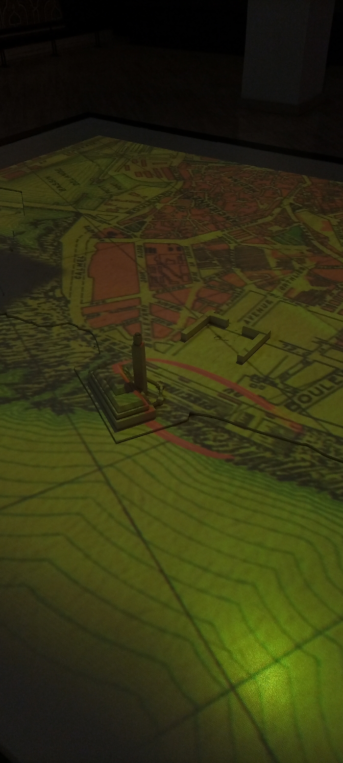
The image displays an illuminated, three-dimensional map exhibition, likely situated in a dimly lit museum or gallery. A detailed city map is projected onto a large, flat surface, creating a vibrant green-yellow glow that brightens specific areas, with some city blocks colored red.

Prominently featured on the map are two 3D models. In the foreground, a tall, slender cylindrical structure, possibly a tower or lighthouse, stands on a multi-tiered base. Further back, an L-shaped building model is also placed on the map. Both models cast shadows from the projected light, adding depth to the display.

The map itself presents a complex urban layout, complete with street grids, blocks, and intricate topographical lines, particularly visible in the foreground and around the structures. Several French street and area names are discernible on the map, including "BASSIN DELANOE," "RUE DE," "AVENUE," and "BOULEVARD." Partial words like "ANCIENNE" and "MEDINA" also appear, hinting at historical or old city districts.

The dark surroundings, with out-of-focus elements like a bench and a pillar, emphasize the glowing map as the central focus. No people are visible, suggesting the display is static for viewing. Given the context of Casablanca, Morocco, and the French text, the exhibit likely represents a historical or geographical overview of the city.
AYOUB

Jan 10, 2025, 4:10 PM

Casablanca, Morocco

Stake attention in this memory

The image displays an illuminated, three-dimensional map exhibition, likely situated in a dimly lit museum or gallery. A detailed city map is projected onto a large, flat surface, creating a vibrant green-yellow glow that brightens specific areas, with some city blocks colored red. Prominently featured on the map are two 3D models. In the foreground, a tall, slender cylindrical structure, possibly a tower or lighthouse, stands on a multi-tiered base. Further back, an L-shaped building model is also placed on the map. Both models cast shadows from the projected light, adding depth to the display. The map itself presents a complex urban layout, complete with street grids, blocks, and intricate topographical lines, particularly visible in the foreground and around the structures. Several French street and area names are discernible on the map, including "BASSIN DELANOE," "RUE DE," "AVENUE," and "BOULEVARD." Partial words like "ANCIENNE" and "MEDINA" also appear, hinting at historical or old city districts. The dark surroundings, with out-of-focus elements like a bench and a pillar, emphasize the glowing map as the central focus. No people are visible, suggesting the display is static for viewing. Given the context of Casablanca, Morocco, and the French text, the exhibit likely represents a historical or geographical overview of the city.

Loading AttnAds…

transactions
revenues
stakers
Earliest
Latest
Highest stake

No transactions found

More from this user

More from Casablanca

AYOUB

Jan 10, 2025, 4:10 PM

Casablanca, Morocco

Licensed under Creative Commons Attribution 4.0 International License. You are free to share and adapt this content with proper attribution.