Stake attention in this memory
serene
tranquil
peaceful
mysterious
adventurous
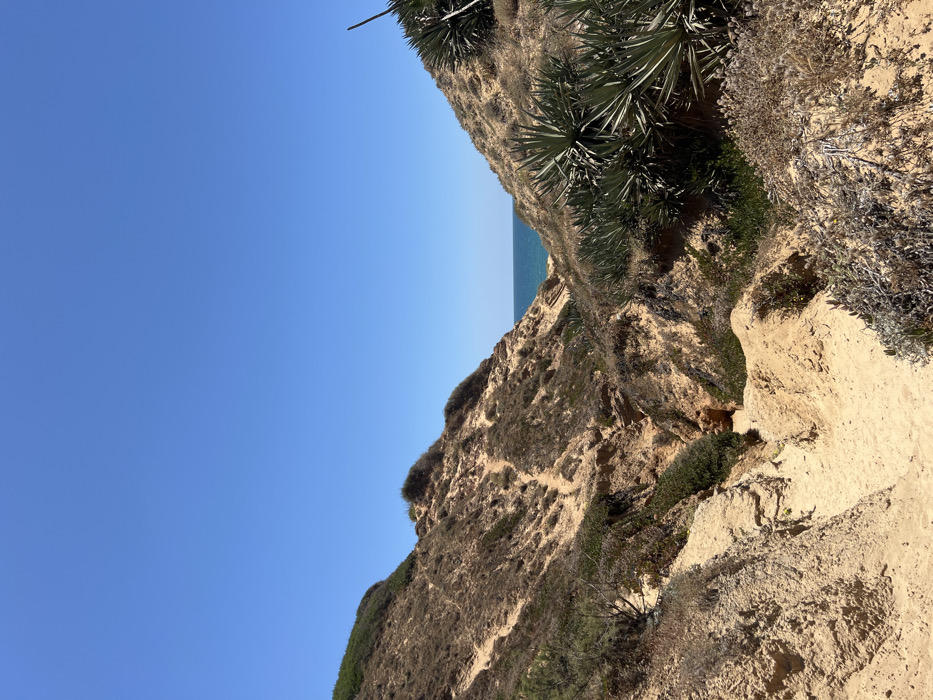
The image shows a narrow, dirt path leading down into a valley between two hills. The hills are covered in a mixture of dry, sandy soil and sparse vegetation. The path is slightly uneven and winds its way downwards. At the end of the path, the blue Mediterranean Sea can be seen in the distance. The sky is a clear blue. The location of the image is a coastal area near Ga'ash, Israel, at the coordinates 32.226 latitude and 34.819 longitude. There are no people or animals visible in the image.
transactions
revenues
stakers
Earliest
Latest
Highest stake
No transactions found