Sign in
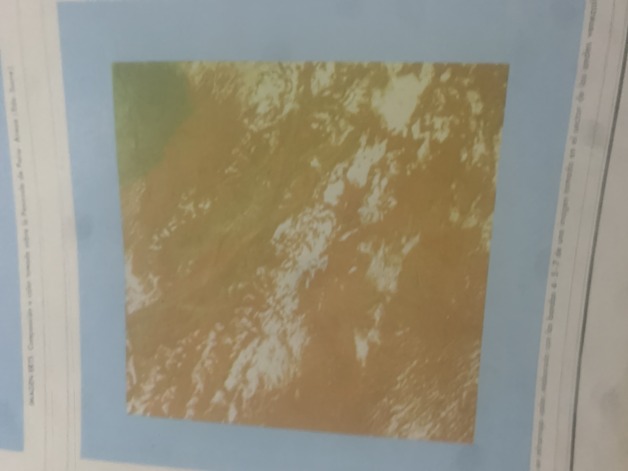
This media file features a satellite image of a mountainous landscape, possibly in the Andes region of Venezuela, given the location context. The image is predominantly in shades of brown and green, with lighter patches that could represent snow, clouds, or areas of different vegetation. The terrain appears rugged and uneven, indicative of a mountainous or hilly area.

Text is visible along the left and right edges of the image. Along the left edge, in smaller font, it reads: "IMAGEN ETS. Composicion a color tomada sobre la Peninsula de Paria. Anaco. (Rio Sire.)" This indicates that the image is an ETS (Earth Technology Satellite) image, a color composition taken over the Paria Peninsula, specifically referencing Anaco and the Sire River.

Along the right edge, in larger font, there is text that appears to be a caption or description related to the image. It begins with "una imagen tomada en el sector de las Andes", suggesting the image is from the Andes sector, and continues with further descriptive text, though not all of it is fully legible. The text seems to discuss the composition or properties of the image itself.

There are no visible people or specific objects. The scene is a natural landscape captured from an aerial or satellite perspective. The time of day and weather conditions are not explicitly discernible, but the lighting suggests it might be daytime. The overall impression is of a remote and natural geographical area.
bombolico

Jun 25, 2026, 2:12 PM

La Tagua, Venezuela

Moment

Stake attention in this memory

Serene
Vast
Solitary
Awe
Neutral

This media file features a satellite image of a mountainous landscape, possibly in the Andes region of Venezuela, given the location context. The image is predominantly in shades of brown and green, with lighter patches that could represent snow, clouds, or areas of different vegetation. The terrain appears rugged and uneven, indicative of a mountainous or hilly area. Text is visible along the left and right edges of the image. Along the left edge, in smaller font, it reads: "IMAGEN ETS. Composicion a color tomada sobre la Peninsula de Paria. Anaco. (Rio Sire.)" This indicates that the image is an ETS (Earth Technology Satellite) image, a color composition taken over the Paria Peninsula, specifically referencing Anaco and the Sire River. Along the right edge, in larger font, there is text that appears to be a caption or description related to the image. It begins with "una imagen tomada en el sector de las Andes", suggesting the image is from the Andes sector, and continues with further descriptive text, though not all of it is fully legible. The text seems to discuss the composition or properties of the image itself. There are no visible people or specific objects. The scene is a natural landscape captured from an aerial or satellite perspective. The time of day and weather conditions are not explicitly discernible, but the lighting suggests it might be daytime. The overall impression is of a remote and natural geographical area.

Symbol

EE8C0

Volume

0

Creator

+$0.17

Revenue

+$0.00

TVL

$0.00

1D
1W
1M
All

Loading AttnAds…

transactions
revenues
stakers
Earliest
Latest
Highest stake

1

Katy

Staked 12d ago
Redeemed 11d ago

$6.63 USD

-$0.06 USD

Fee: $0.17 (2.5%)

-0.8%

2

Rev Bot 🤖💰

Injected revenue 12d ago

Revenue bonus for the last stake.

+$0.20 USD

3

CruzR

Staked 11d ago
Redeemed 11d ago

$6.63 USD

-$0.07 USD

Fee: $0.17 (2.5%)

-1%

4

Rev Bot 🤖💰

Injected revenue 11d ago

Revenue bonus for the last stake.

+$0.19 USD

More from this user

More from La Tagua

bombolico

Jun 25, 2026, 2:12 PM

La Tagua, Venezuela

Licensed under Creative Commons Attribution 4.0 International License. You are free to share and adapt this content with proper attribution.