Stake attention in this memory
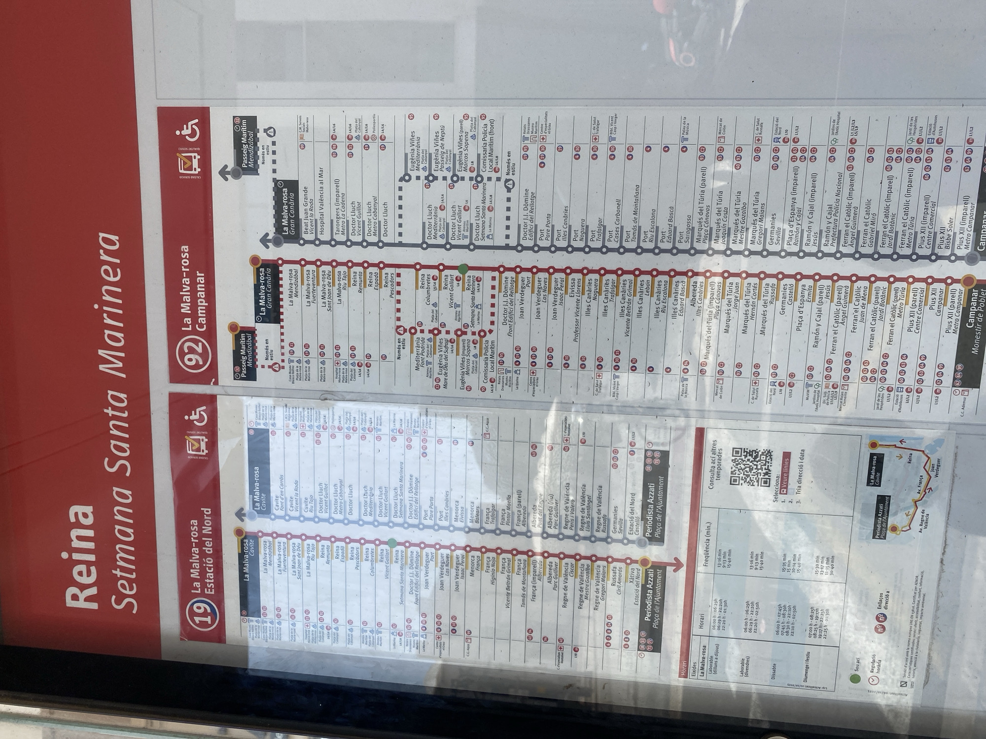
The image is a photograph of a public transportation map, likely for buses or trams, in Valencia, Spain. The map displays routes and stops for the "Reina Setmana Santa Marinera" line, indicated by a large red '19' within a circle. The map features a linear representation of the route, with numerous stops listed along the left and right sides. Each stop has a number associated with it, and various icons and symbols, possibly indicating accessibility, metro connections, or other services. The overall color scheme is predominantly red, white, and black, with green lines marking the routes. Notable visible text includes "Reina Setmana Santa Marinera," "La Malva-rosa Estació del Nord," "La Malva-rosa Gran Canari," and "La Malva-rosa Campañar." There are also sections with details on "Frequencia (min.)" (frequency in minutes) and "Horari" (schedule), including specific times for weekdays and Sundays. A QR code is also present, likely for accessing more information digitally. The map appears to be mounted on a wall or stand in an indoor public space, possibly a bus or metro station. The lighting suggests daytime.
No transactions found