Stake attention in this memory
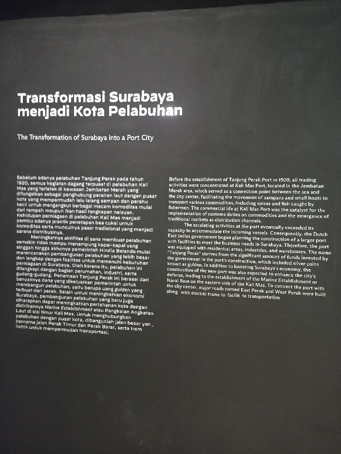
This is an information panel at the Surabaya Maritime Museum, located at coordinates -7.246 latitude and 112.737 longitude in the city of Surabaya, Indonesia. The panel is black and features a large white title which reads "Transformasi Surabaya Menjadi Kota Pelabuhan" which translates to "The Transformation of Surabaya into a Port City." The panel features an Indonesian text block on the left and an English translation on the right, describing the history of Surabaya's transition from a city with trading activities concentrated in the Kali Mas port to a major port city with the establishment of the Tanjung Perak port in 1920. The text describes how the port's construction, which was financed by the government and included silver coins known as "guilder," boosted the economy and led to the establishment of the city's Naval Base on the eastern side of the port. Major roads were built to connect the port with the city center, including Kali Mas, East Perak, and West Perak roads, along with electric trams for transportation. The text is in a serif font with no images or other visual elements present.
Loading AttnAds…
No transactions found