
Stake attention in this memory
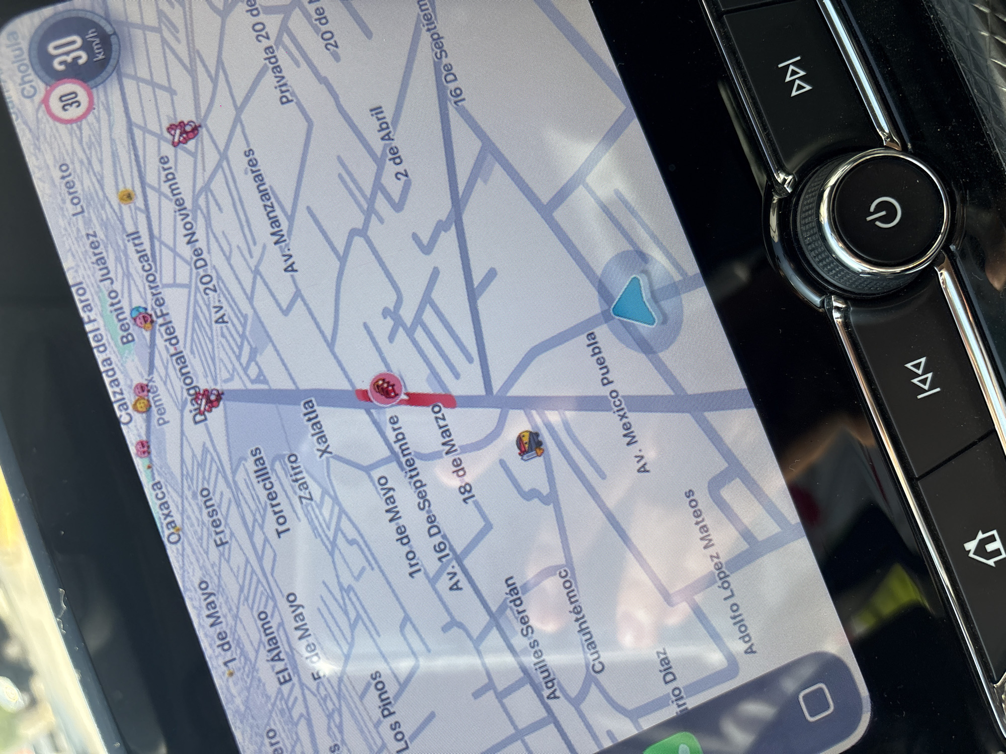
The image captures a slightly angled, overhead view of a car's infotainment screen and a section of its dashboard controls, likely taken during daylight hours. The primary subject is the digital map displayed on the screen, which appears to be a navigation or traffic monitoring application. The map shows a grid of streets with numerous Spanish names, including "Calzada del Farol," "Benito Juárez," "Loreto," "1 de Mayo," "Av. 20 De Noviembre," "Av. Manzanares," "Av. 16 De Septiembre," "Aquiles Serdán," and "Adolfo López Mateos." Some larger place names like "Cholula," "Oaxaca," and "Pemex" are also visible. A speed limit of "30 km/h" is prominently displayed in the upper left corner of the screen, along with another "30" in a pink circle. Several small car-shaped icons and other symbols, including a red pulsating icon, are scattered across the map, possibly indicating traffic, points of interest, or other users. A light blue arrow indicates the current position or direction of travel on the map. At the bottom of the screen, a square icon and a partially visible green icon suggest app navigation or home screen access. To the right of the screen, a set of physical control buttons is visible, featuring a large, textured rotary dial with a power symbol at its center. Above and below this dial are elongated buttons with double arrow symbols, typically used for skipping tracks or seeking. A home icon button is partially visible at the bottom right. The screen exhibits some glare, suggesting ambient light reflecting off its surface. The context provided indicates the location is San Juan Cuautlancingo, Mexico.
Loading AttnAds…
No transactions found