Stake attention in this memory
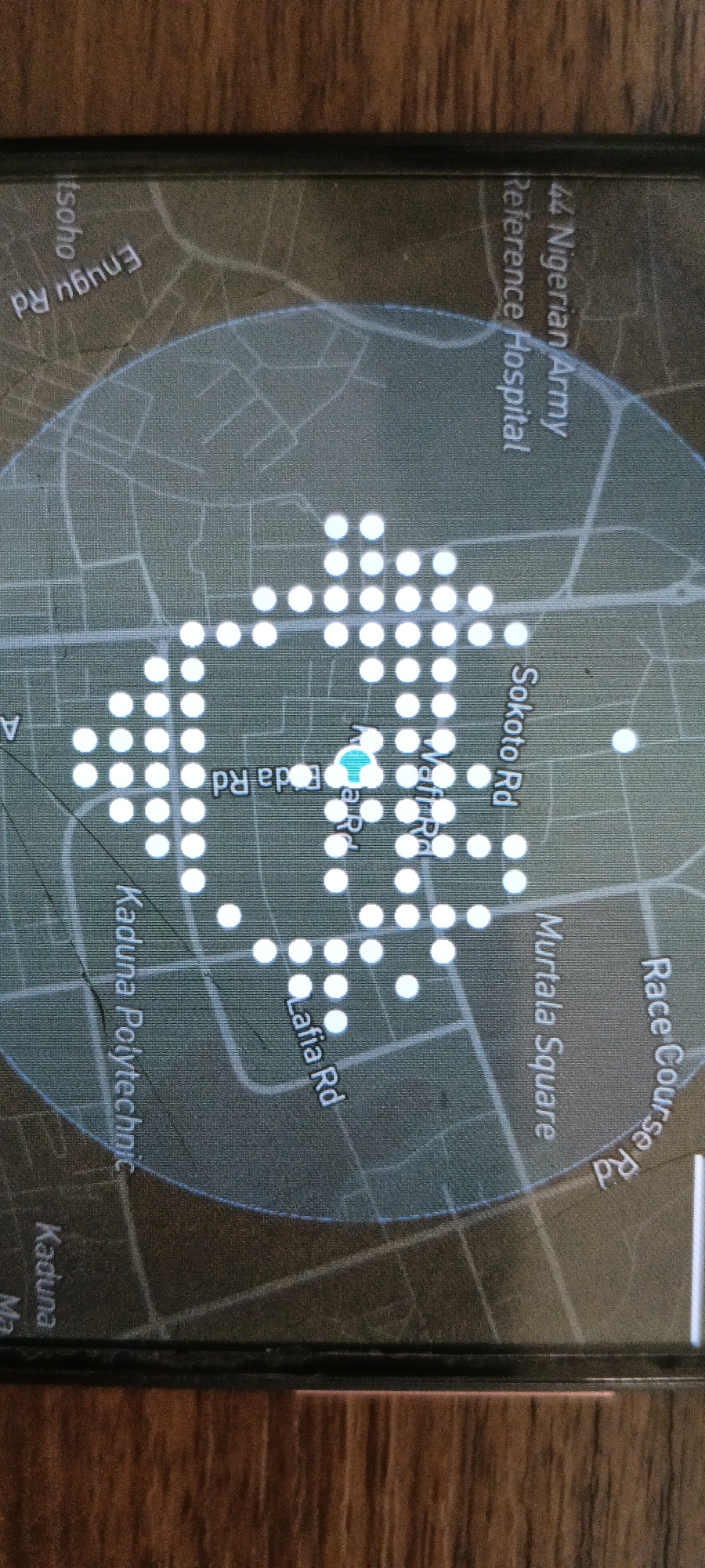
The image displays a smartphone screen, rotated clockwise, resting on a textured wooden surface. The screen shows a map application centered on a specific urban area. A prominent blue location marker, shaped like an upward arrow, is at the core of the map, surrounded by a dense, circular cluster of white circular markers. These white markers are heavily concentrated in the central area, particularly along "Foda Rd" and "Waff Rd", suggesting numerous points of interest or data points in that vicinity. Visible text on the map identifies several roads: "Enugu Rd", "Sokoto Rd", "Lafia Rd", "Foda Rd", "Waff Rd", and "Race Course Rd". Key landmarks and institutions also labeled include "44 Nigerian Army Reference Hospital", "Murtala Square", and "Kaduna Polytechnic". The larger geographical context evident from the labels is "Kaduna", a city in Nigeria, aligning with the provided location context of Shaba, Nigeria. The map outlines street patterns and some indistinct grey areas, likely representing buildings or blocks. The overall activity depicted is a navigation or location-based service showing dense data points in an urban setting.
Symbol
F11DF
Volume
0
Creator
+$0.30
Revenue
+$0.00
TVL
$0.00
3
Rev Bot 🤖💰
Injected revenue 26d ago
“Revenue bonus for the last stake.”
+$0.10 USD
4
Rev Bot 🤖💰
Injected revenue 26d ago
“Revenue bonus for the last stake.”
+$0.31 USD
6
Rev Bot 🤖💰
Injected revenue 22d ago
“Revenue bonus for the last stake.”
+$0.20 USD