
Stake attention in this memory
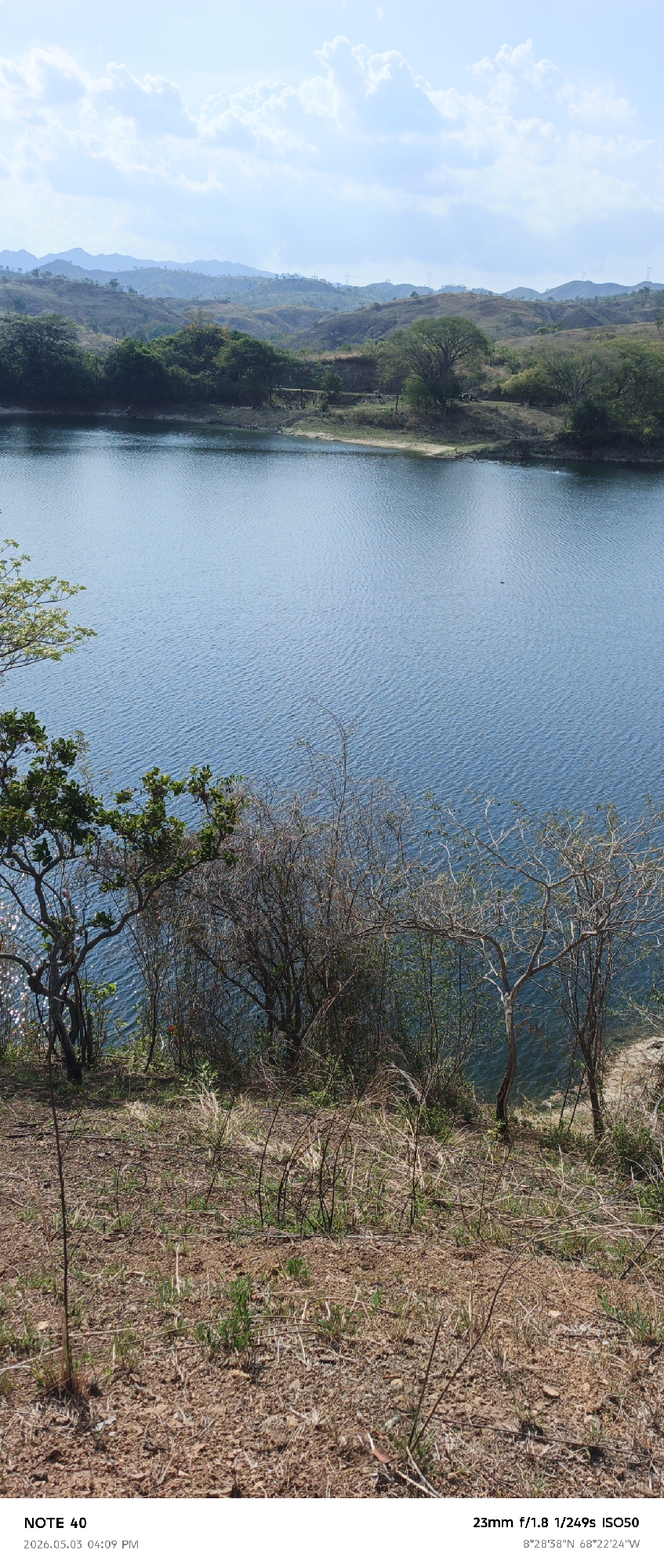
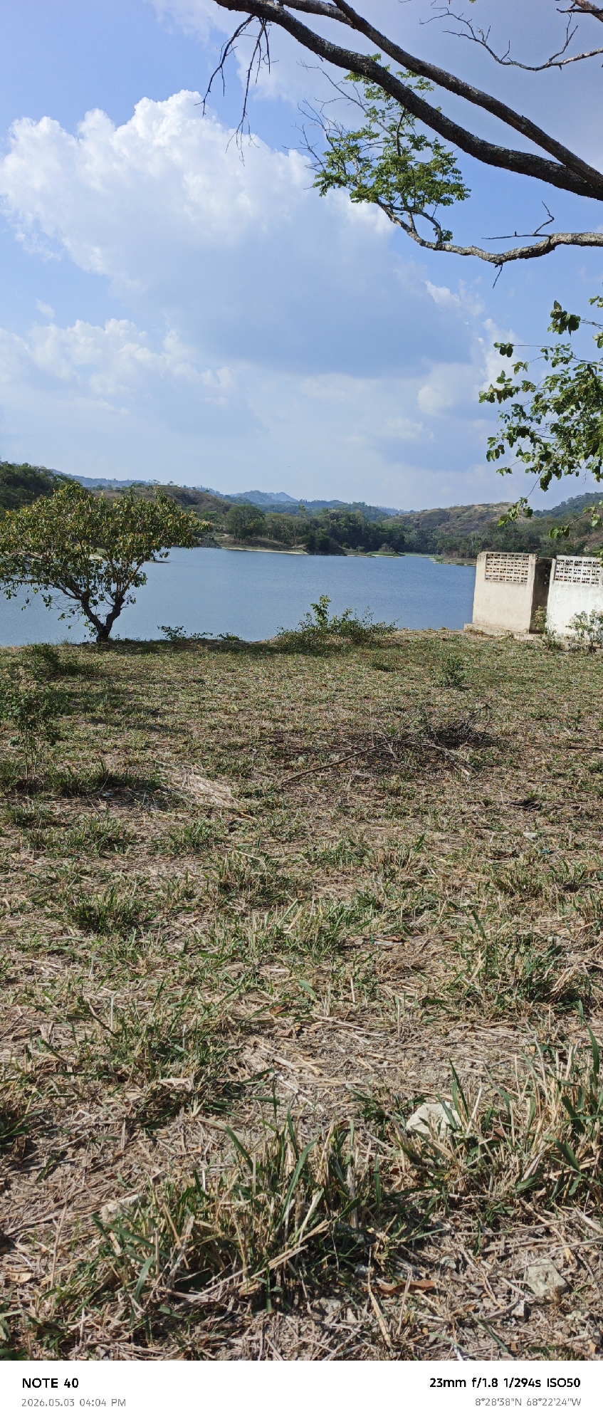
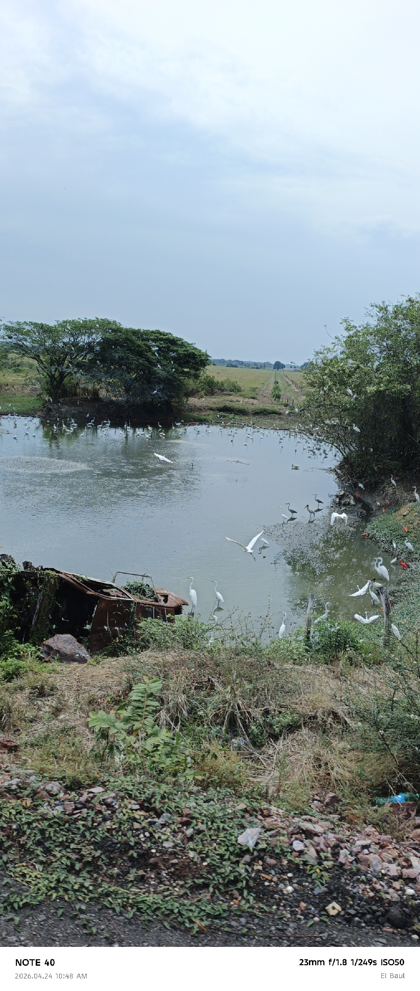
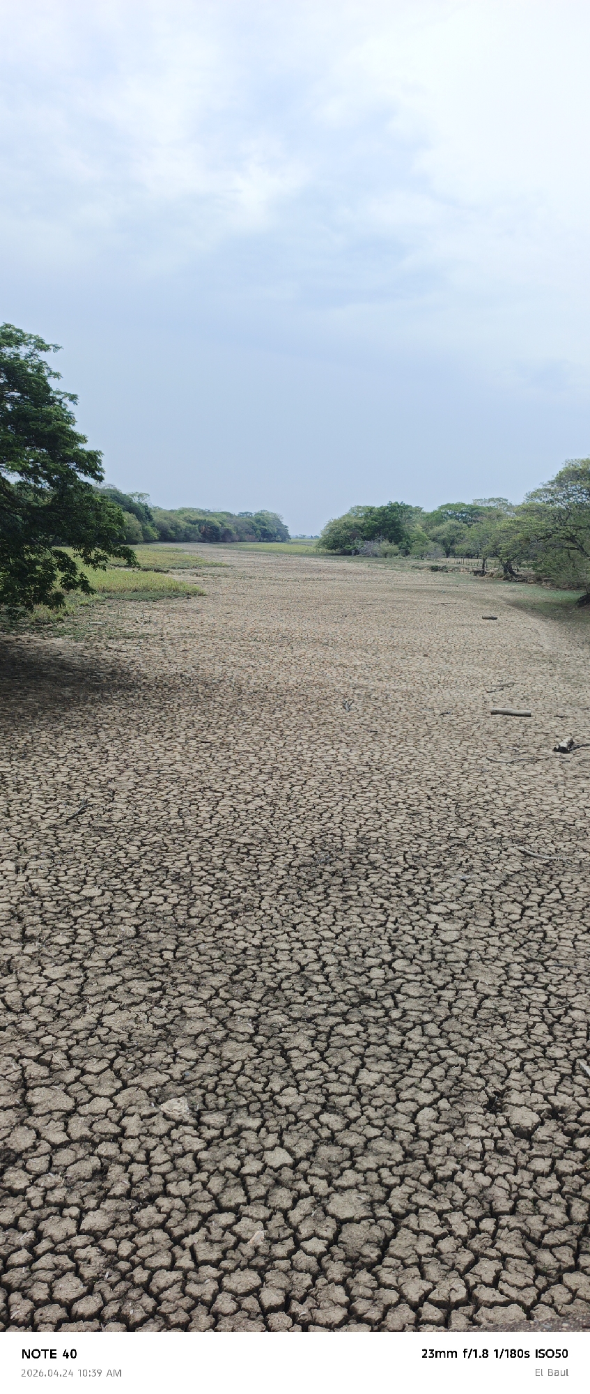
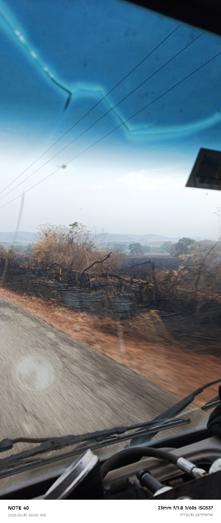
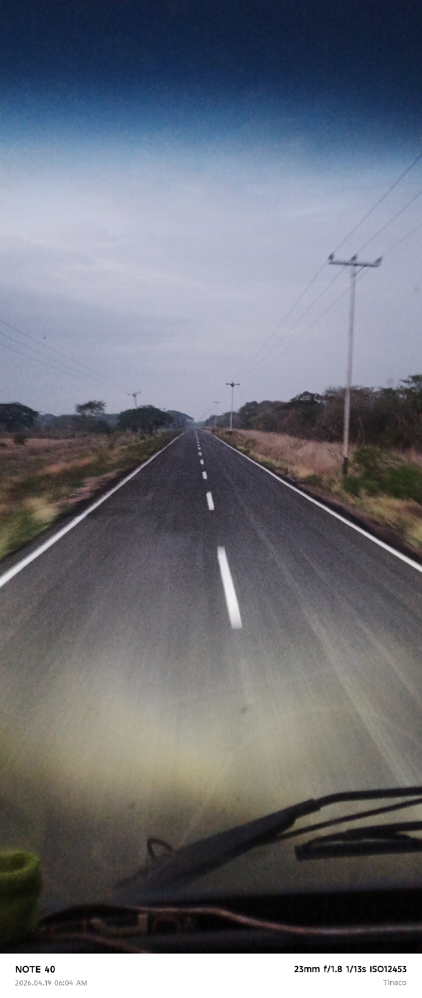
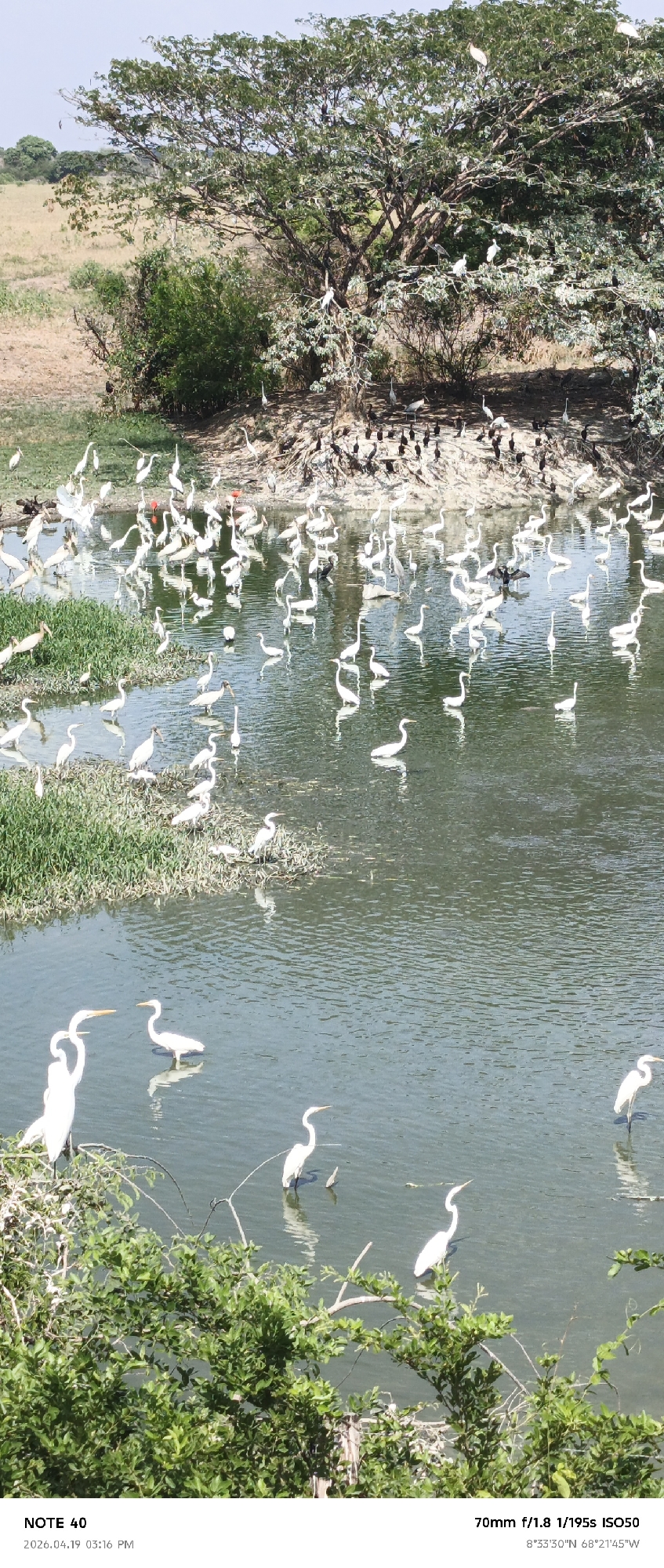
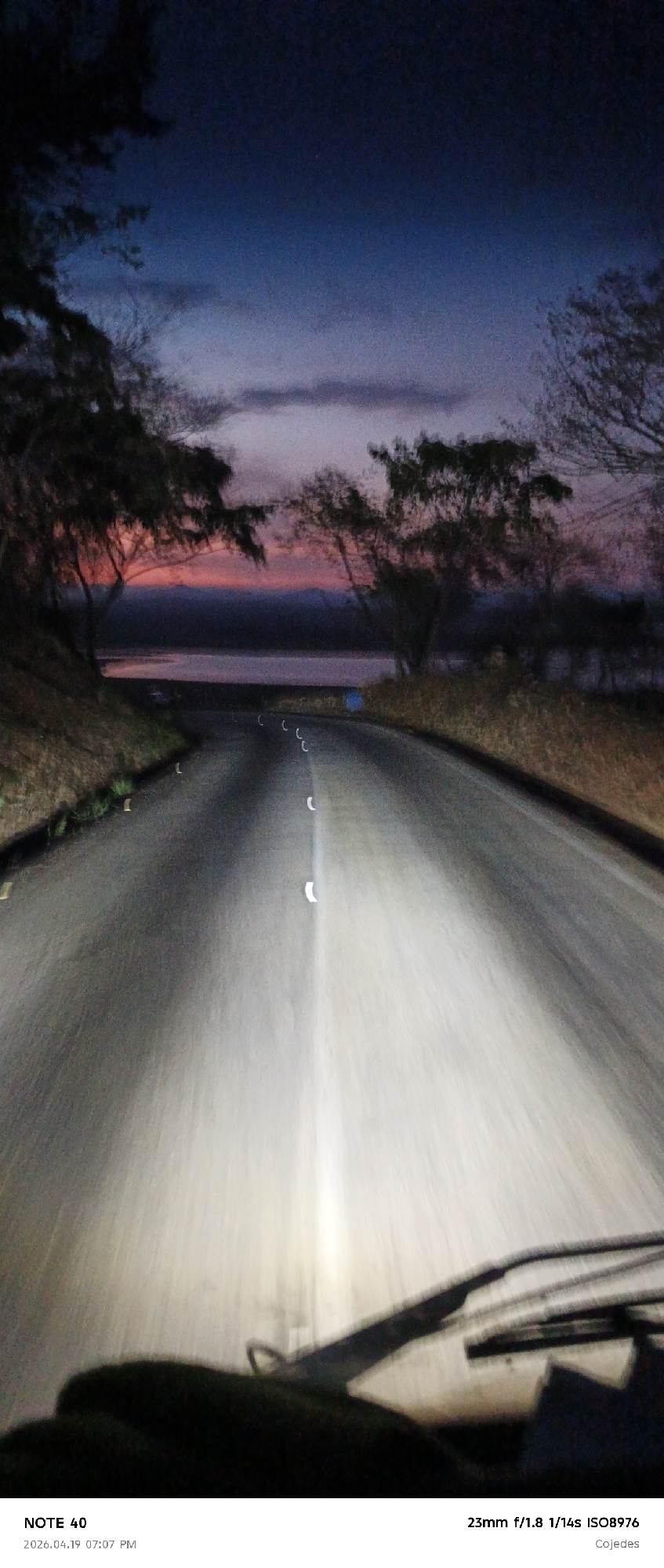
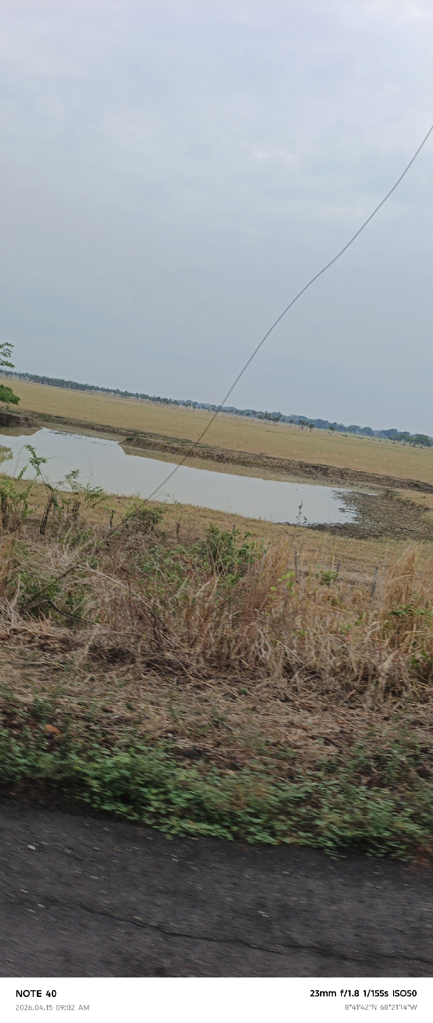
The image shows a rural landscape in Cano Negro, Venezuela (as indicated by the GPS coordinates). The foreground is dominated by dry, brown vegetation and patches of green ground cover, suggesting a roadside view from a moving vehicle. A body of water, possibly a pond or a wetland area, is visible in the middle ground. Beyond the water lies a grassy field with a line of trees in the distance. The sky is overcast and pale. A thin wire, likely a power line, cuts diagonally across the upper portion of the image. The text overlay at the bottom indicates the image was taken with a "NOTE 40" on April 15, 2026, at 09:02 AM, using a 23mm lens, f/1.8 aperture, 1/155s shutter speed, and ISO 50.
Loading AttnAds…
No transactions found