Sign in
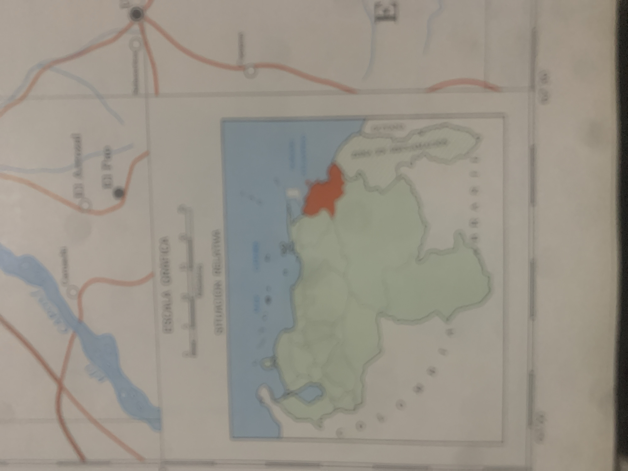
This is a close-up, vertically oriented photograph of a map. The map displays geographical features including bodies of water, landmasses, and roads. A small inset map, highlighted with an orange-red color, shows a specific region within a larger green landmass bordered by a blue body of water. The inset map appears to be a detail of the larger map, indicating a specific location of interest.

Text visible on the map includes "ESCALA GRAFICA" (graphic scale) and "SITUACION RELATIVA" (relative situation), suggesting cartographic information. There are also place names partially visible, such as "El Pa" and "Arimal," which are likely towns or geographical points. The overall scene is static, depicting a section of a map, and no activity or event is taking place beyond the representation of a location. There are no discernible cues about the time of day, weather, or emotions. The location context provided is "La Tagua, Venezuela," which likely refers to the area depicted on the map. The image is slightly blurred, giving it a soft focus.
bombolico

Jun 25, 2026, 2:42 PM

La Tagua, Venezuela

BLOCKED

Stake attention in this memory

analytical
objective
formal
neutral
academic

This is a close-up, vertically oriented photograph of a map. The map displays geographical features including bodies of water, landmasses, and roads. A small inset map, highlighted with an orange-red color, shows a specific region within a larger green landmass bordered by a blue body of water. The inset map appears to be a detail of the larger map, indicating a specific location of interest. Text visible on the map includes "ESCALA GRAFICA" (graphic scale) and "SITUACION RELATIVA" (relative situation), suggesting cartographic information. There are also place names partially visible, such as "El Pa" and "Arimal," which are likely towns or geographical points. The overall scene is static, depicting a section of a map, and no activity or event is taking place beyond the representation of a location. There are no discernible cues about the time of day, weather, or emotions. The location context provided is "La Tagua, Venezuela," which likely refers to the area depicted on the map. The image is slightly blurred, giving it a soft focus.

Symbol

F251F

Volume

0

Creator

+$0.09

Revenue

+$0.00

TVL

$0.00

1D
1W
1M
All

Loading AttnAds…

transactions
revenues
stakers
Earliest
Latest
Highest stake

1

Ramón

Staked 10d ago
Redeemed 9d ago

$7.27 USD

+$0.00 USD

Fee: $0.07 (1%)

+0.1%

2

Rev Bot 🤖💰

Injected revenue 10d ago

Revenue bonus for the last stake.

+$0.17 USD

More from this user

More from La Tagua

bombolico

Jun 25, 2026, 2:42 PM

La Tagua, Venezuela

Licensed under Creative Commons Attribution 4.0 International License. You are free to share and adapt this content with proper attribution.





