
Stake attention in this memory
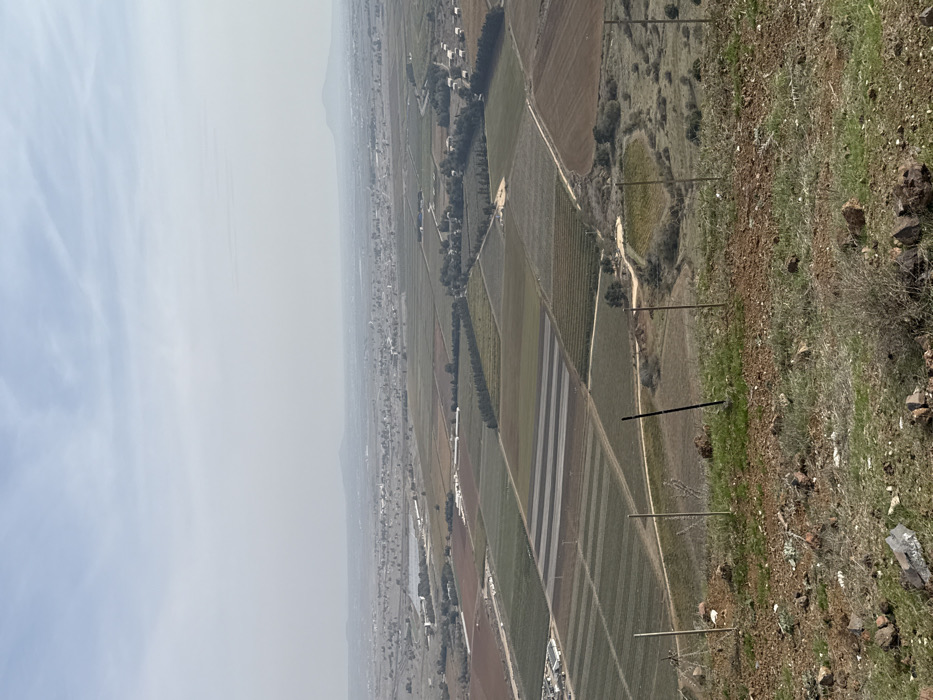
This is an elevated landscape image depicting agricultural plains within the Golan Regional Council, Israel. The foreground consists of a rocky, downward-sloping terrain with sparse, dry brown and green vegetation. Four dark, slender posts, consistent with fencing, are visible in the foreground: three upright on the left and one leaning centrally. The midground features an expansive patchwork of cultivated fields, segmented into various rectangular and irregular shapes with shades of green, brown, and reddish soil, some exhibiting distinct striped patterns. Clusters of trees, white structures, and unpaved dirt roads are visible throughout the agricultural areas. A small, dark-bottomed pond is located in the lower-right midground. The background extends to a hazy horizon, showing distant settlements and indistinct elevated land formations under a pale, uniformly light blue-gray sky. No individuals or specific actions are visible.
Loading AttnAds…
No transactions found