Stake attention in this memory
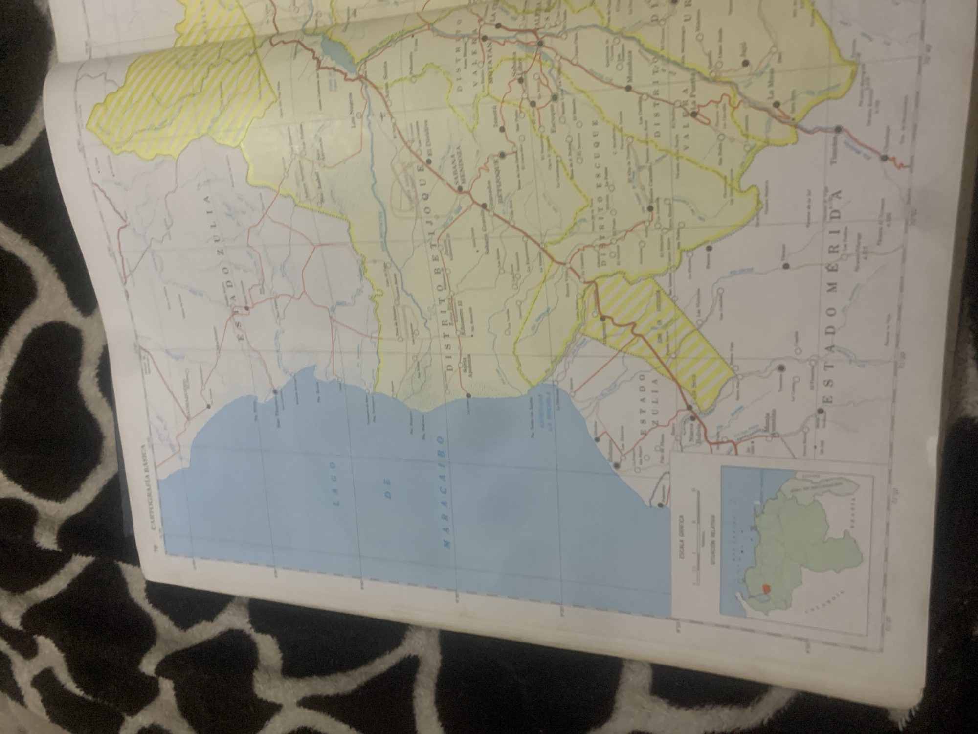
This media file is a photograph of an open map, likely a road or political map of Venezuela. The map is laid out on a dark, patterned surface, possibly a rug or blanket with a black and white irregular spotted design. The map itself is predominantly yellow and blue. A large body of water, labeled "LAGO DE MARACAIBO," dominates the lower portion of the visible map. Inland areas are depicted with yellow shading, indicating landmasses or regions. Various lines, representing roads and possibly borders, crisscross the land. Several circular icons with smaller circles inside are scattered across the land areas, likely signifying towns or cities. Text labels are present in Spanish. Prominent labels include "ESTADO ZULIA" and "ESTADO MERIDA," indicating these are state boundaries. Other visible text includes "DISTRITO BETIJOQUE," "DISTRITO VALERA," and "DISTRITO ESCUQUE," suggesting district or regional divisions within the states. A small inset map in the lower right corner shows a stylized outline of Venezuela with a specific region highlighted in red, likely indicating the area detailed on the larger map. Another label, "CARTOGRAFÍA BÁSICA," is visible in the lower left. The lighting suggests it is an indoor setting, with no indication of time of day or weather. The focus is solely on the map and its informational content. There are no people or animals visible. The overall impression is one of a detailed geographical reference being studied or displayed.
Loading AttnAds…
No transactions found





