Sign in
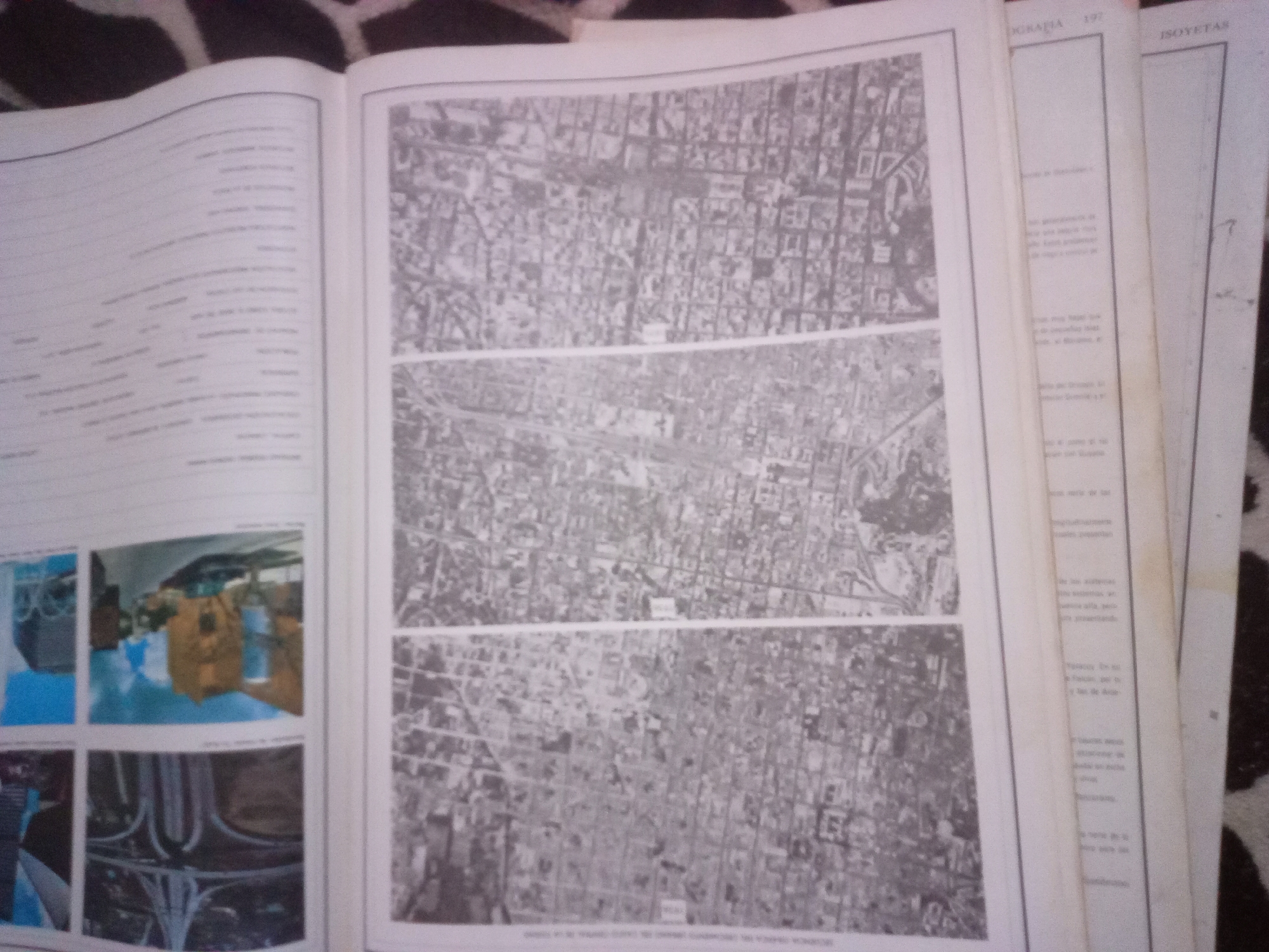
This image displays an open book with several pages. The left page features a list of text in Spanish, partially obscured by a white border. To the right of this text page, there are four smaller photographs. The top two photographs show aerial views of a city with a grid-like street layout. The bottom two photographs are close-ups of what appear to be public transportation or infrastructure, one showing a blue and yellow train carriage and the other a concrete overpass.

The main focus of the image is the open center section, which contains three large, horizontal aerial photographs of a city. These images also show a dense urban environment with a distinct grid of streets and buildings. Below these three aerial photographs, there is a line of text in Spanish, which is too blurry to read.

To the right of the aerial photographs, two more pages of the book are visible, also containing Spanish text. One of these pages has the word "ISOYETAS" printed at the top. The text on these right-hand pages is also blurry and difficult to decipher. The background of the image shows a dark, patterned surface, possibly a tablecloth or rug. The overall context suggests a publication featuring urban planning, geography, or historical city development, potentially focusing on La Tagua, Venezuela, given the context of the prompt, although this specific location is not explicitly stated within the visible elements of the image itself.
Alberto Rodríguez

Jun 10, 2026, 6:41 AM

La Tagua, Venezuela

Short Term

Stake attention in this memory

curiosity
nostalgia
contemplation
interest
curiosity

This image displays an open book with several pages. The left page features a list of text in Spanish, partially obscured by a white border. To the right of this text page, there are four smaller photographs. The top two photographs show aerial views of a city with a grid-like street layout. The bottom two photographs are close-ups of what appear to be public transportation or infrastructure, one showing a blue and yellow train carriage and the other a concrete overpass. The main focus of the image is the open center section, which contains three large, horizontal aerial photographs of a city. These images also show a dense urban environment with a distinct grid of streets and buildings. Below these three aerial photographs, there is a line of text in Spanish, which is too blurry to read. To the right of the aerial photographs, two more pages of the book are visible, also containing Spanish text. One of these pages has the word "ISOYETAS" printed at the top. The text on these right-hand pages is also blurry and difficult to decipher. The background of the image shows a dark, patterned surface, possibly a tablecloth or rug. The overall context suggests a publication featuring urban planning, geography, or historical city development, potentially focusing on La Tagua, Venezuela, given the context of the prompt, although this specific location is not explicitly stated within the visible elements of the image itself.

Symbol

F4AF8

Volume

11,550

Creator

+$0.04

Revenue

+$0.07

TVL

$2.96

1D
1W
1M
All

Loading AttnAds…

transactions
revenues
stakers
Earliest
Latest
Highest stake

1

yoko

Staked 29d ago

$2.93 USD

+$0.04 USD

+1%

2

Rev Bot 🤖💰

Injected revenue 29d ago

Revenue bonus for the last stake.

+$0.07 USD

More from this user

More from La Tagua

Alberto Rodríguez

Jun 10, 2026, 6:41 AM

La Tagua, Venezuela

Licensed under Creative Commons Attribution 4.0 International License. You are free to share and adapt this content with proper attribution.





