
Sign in
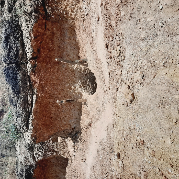
The image shows a dirt road with a steep embankment on the left side. The embankment is eroded, revealing layers of reddish-brown soil and a few tree roots. There are no people or objects present in the image. The location is near the coordinates 9.83° N, 8.917° E, which corresponds to a location near a town in the southeastern part of Kogi State, Nigeria.  It is likely a rural area with limited development and infrastructure.
jk

Mar 9, 2025, 11:23 AM

Reifild-Ist, Nigeria

Stake attention in this memory

desolate
empty
rugged
abandoned
lonely

The image shows a dirt road with a steep embankment on the left side. The embankment is eroded, revealing layers of reddish-brown soil and a few tree roots. There are no people or objects present in the image. The location is near the coordinates 9.83° N, 8.917° E, which corresponds to a location near a town in the southeastern part of Kogi State, Nigeria. It is likely a rural area with limited development and infrastructure.

transactions
revenues
stakers
Earliest
Latest
Highest stake

No transactions found
More from this user

More from Reifild-Ist

jk

Mar 9, 2025, 11:23 AM

Reifild-Ist, Nigeria

Licensed under Creative Commons Attribution 4.0 International License. You are free to share and adapt this content with proper attribution.