Stake attention in this memory
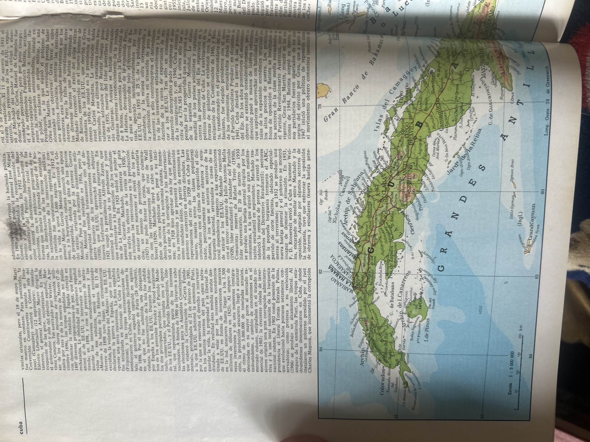
The image displays a page from an atlas or book featuring a map of Cuba and the surrounding islands, including the Bahamas and the Cayman Islands. The map is colorful with topographical details, cities, and bodies of water labeled in Spanish and English. Visible text includes geographical names like "Gran Banco de Camagüey," "Islas del Camagüey," "Archipiélago de Canarreos," and "La Habana." Latitude and longitude lines are present, with some scale information and distance markers. Overlaying the map, and partially obscuring it, is text from an article discussing Cuban history. The text is dense and in Spanish, detailing political events, figures, and economic conditions. Some of the visible text on the left side of the page includes phrases like "arrullo la hacienda pública," "presidente," "dictadura," and "reorganización del Partido Liberal." Further down, mentions of "dictadura," "presidencia," and economic terms like "inversiones" and "azúcar" are visible. The right side of the map also has text, with prominent labels like "ISLAS" and "BAHAMAS." The overall scene is that of an open book or atlas, with the map of Cuba as the central visual element. The lighting suggests it is likely daytime, but no specific weather conditions are discernible. The presence of both the map and the historical text indicates the media file is an educational or informational resource. There are no people or objects in the foreground or background other than the book itself. The location context provided (Santa Ana, Venezuela) is not directly visible on the map or in the text.
No transactions found