Stake attention in this memory
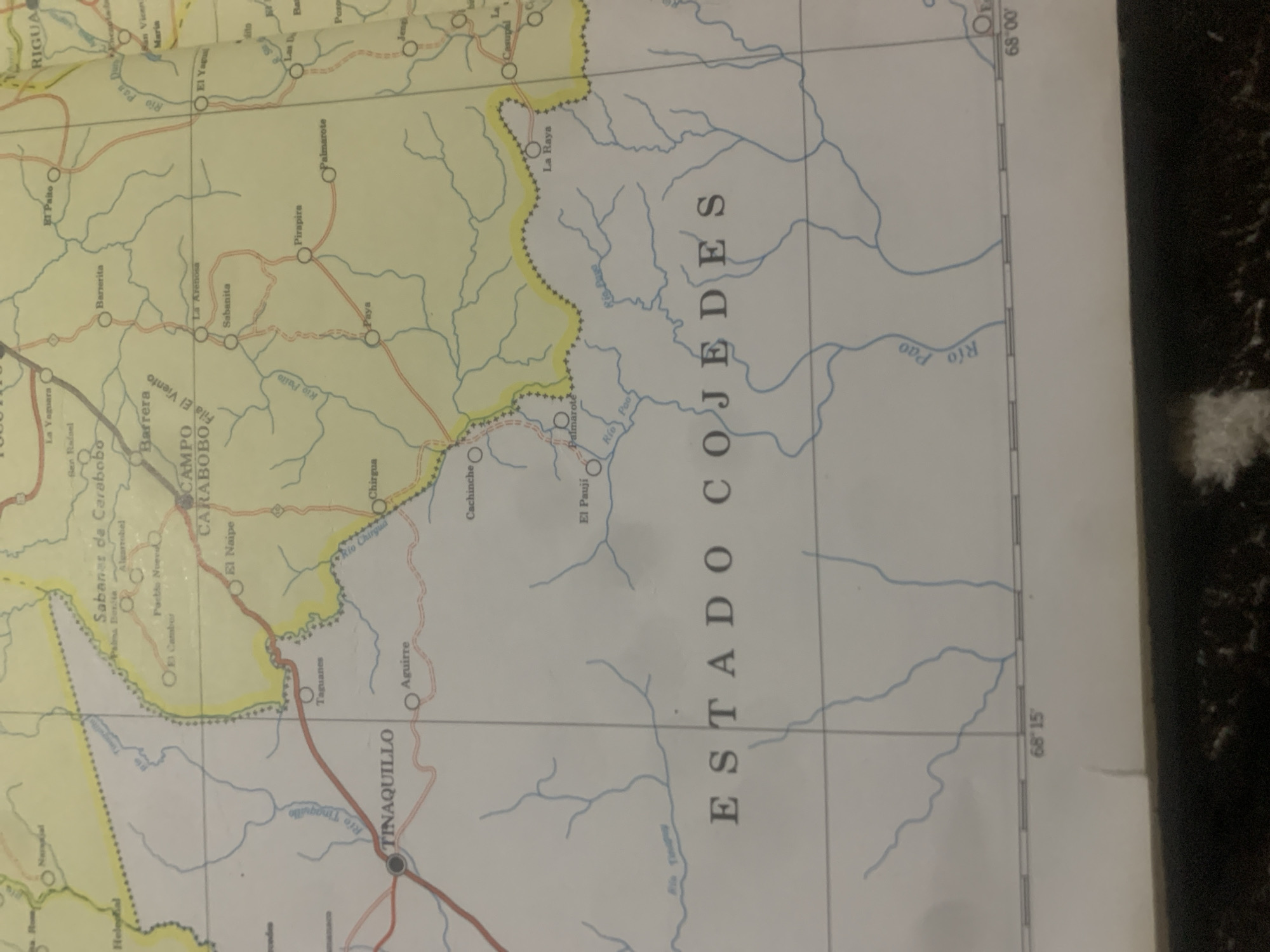
This media file is a photograph of a map, likely an atlas page, depicting a geographical region. The map shows roads, rivers, towns, and topographical lines. Several place names are visible, including "TINAQUILLO," "CAMPO CARABOBO," and "ESTADO COJEDES," indicating a Venezuelan location. The map has grid lines and degree markings for latitude and longitude, with "68°15'" and "68°00'" visible. The image is slightly angled and the lighting suggests it was taken indoors, possibly with ambient light. There are no people or specific events depicted; the focus is purely on the cartographic information. The map's colors are muted, with yellow highlighting a specific border area. The overall impression is of a functional map intended for reference.
Symbol
F56B2
Volume
11,550
Creator
+$0.13
Revenue
+$0.18
TVL
$11.56
2
Rev Bot 🤖💰
Injected revenue 6d ago
“Revenue bonus for the last stake.”
+$0.20 USD


