Stake attention in this memory
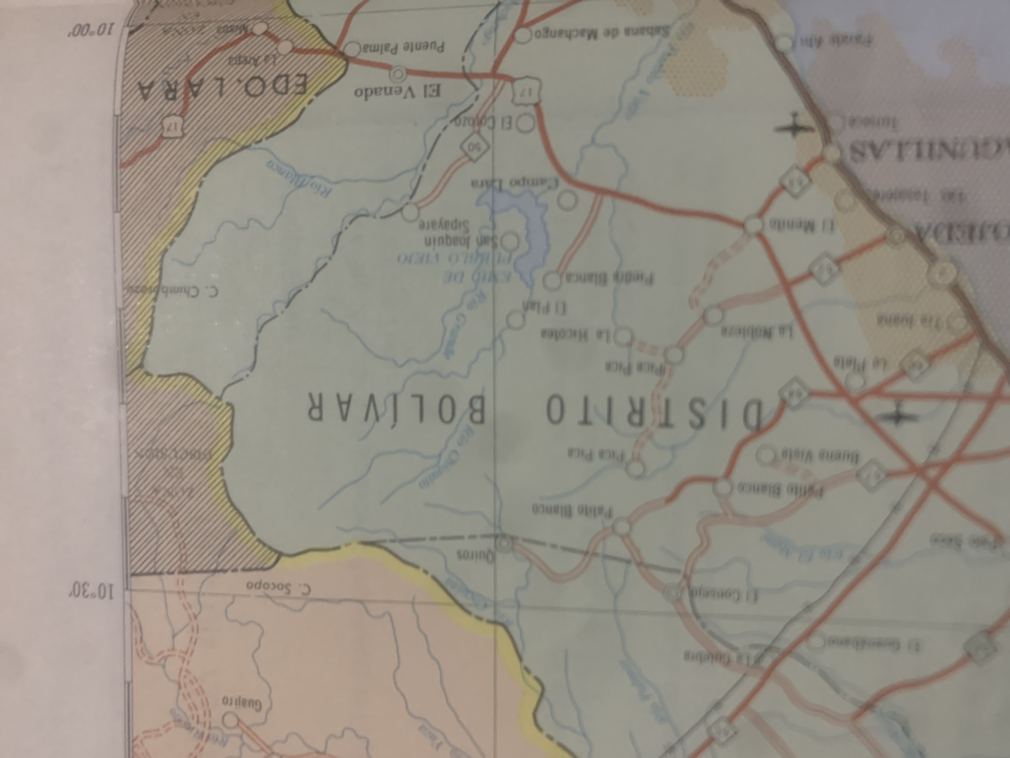
This is a close-up, rotated photograph of a map of Venezuela, specifically focusing on the states of Lara and Bolivar. The map displays geographical features such as rivers (Rio Blanco, Rio Grande, Rio Coquito) and terrain representations, as well as a reservoir. It also marks towns and smaller settlements with circles, connected by roads indicated by red lines. Road numbers, like "17" and "50", are visible, along with some symbols that may represent an airport. Several place names are legible, including "EDO. LARA", "DISTRITO BOLÍVAR", "El Venado", "Puente Palma", "Sabana de Machango", "Campo Lára", "San Joaquin", "Sipayare", "Pica Pica", "Palito Blanco", "Buena Vista", "El Menito", and "La Nobleza". Latitude and longitude lines are also present, indicating coordinates of "10°00′" and "10°30′". The map appears to be old, given its texture and the style of the graphics. The image is slightly blurry, and the rotation makes some text difficult to read in full. No people or specific events are depicted; the focus is purely on the cartographical information. The scene is static and educational, serving as a reference for a specific geographical region.
Symbol
F5767
Volume
11,550
Creator
+$0.03
Revenue
+$0.06
TVL
$2.42
Loading AttnAds…

2

Rev Bot 🤖💰
Injected revenue 2mo ago
“Revenue bonus for the last stake.”
+$0.07 USD





