
Stake attention in this memory
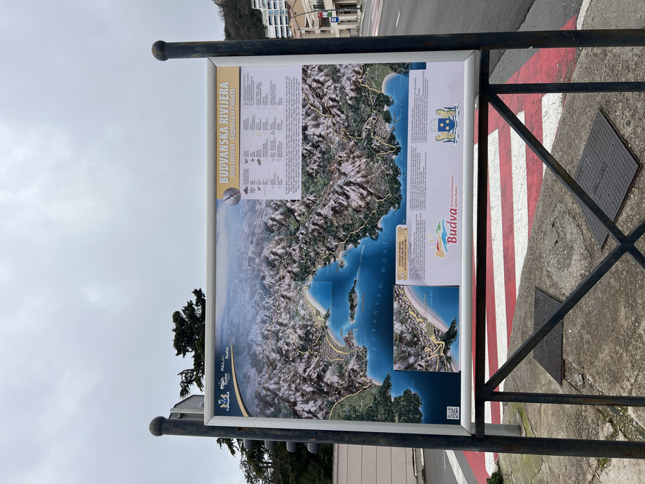
An outdoor public information board, oriented horizontally, displays a detailed topographical map of the "BUDVANSKA RIVIJERA" (Budva Riviera) in Montenegro. The map illustrates coastal features, mountainous terrain, urban areas, and the "JADRANSKO MORE" (Adriatic Sea). Textual information blocks and logos, including "Budva" and "Turistička organizacija opštine Budva," are positioned on the right and bottom of the map, along with a QR code on the bottom left. The board is secured within a silver-colored frame and mounted on a dark, sturdy metal stand with two vertical posts and a lower crossbar. The sign is situated at ground level, adjacent to a paved road featuring a pedestrian crossing marked with prominent red and white stripes. Two square metal manhole covers are visible on the concrete surface beneath the sign. To the left, a dark pole, possibly part of a traffic light, is partially visible, behind which dense green foliage from trees extends. To the right of the sign, the road continues, bordered by multi-story buildings ascending a hillside in the background. The sky above is uniformly overcast and grey. The scene is located in Boreti, Montenegro, consistent with the coastal urban environment depicted on the map and surrounding features. No individuals are present.
Loading AttnAds…
No transactions found