
Stake attention in this memory
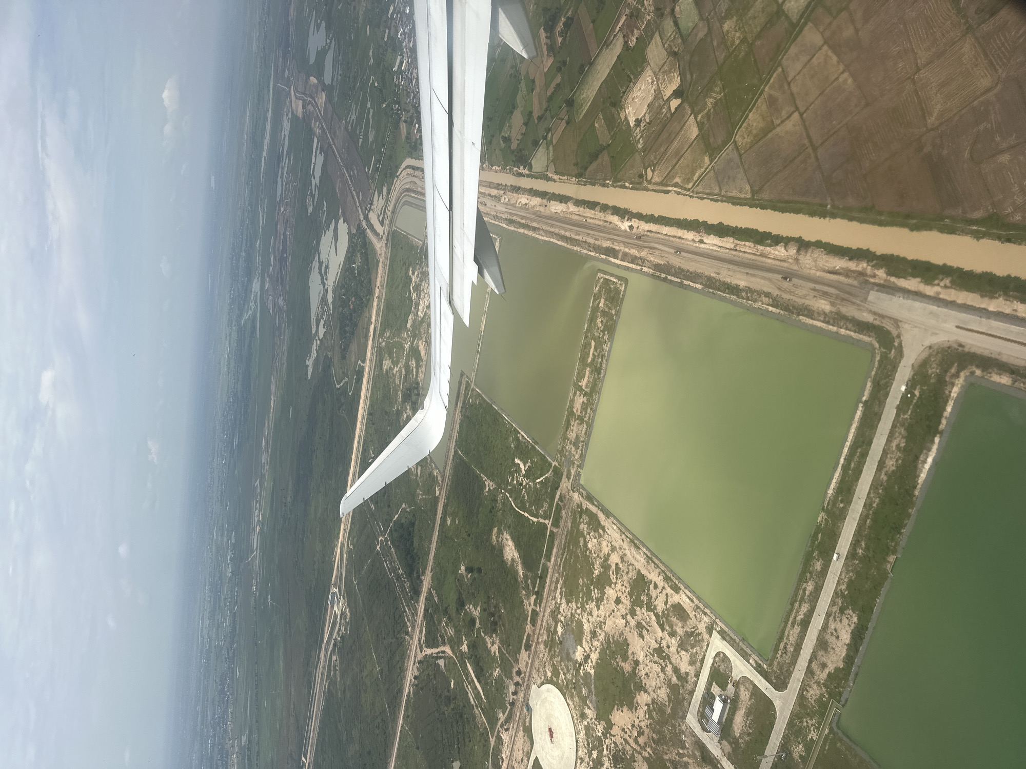
An aerial view captures a landscape with agricultural fields, water retention ponds, and a river, all seen from an airplane. The plane's wing is prominently featured in the foreground, extending from the left side of the image. Below the wing, the earth unfolds with a mix of green vegetation and brown, cultivated land, divided into rectangular plots. A muddy, brown river or canal runs horizontally across the middle of the frame, bordered by a strip of darker vegetation and a road. Adjacent to this waterway are several large, rectangular ponds filled with murky green water. Some of these ponds have a lighter, sandy perimeter. Further out, the landscape transitions into more densely vegetated areas and what appear to be scattered settlements. In the distance, a hazy, light-colored sky suggests either a bright day with atmospheric haze or a possibly overcast condition. The overall scene appears to be a rural or semi-rural area, likely agricultural land undergoing cultivation or water management. There is no visible text in the image. The perspective suggests the photograph was taken during daylight hours.
Loading AttnAds…
No transactions found