Sign in
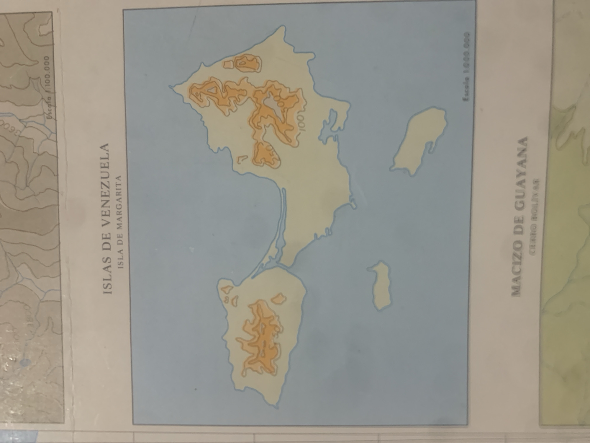
This is a close-up, rotated photograph of a map. The map depicts geographical regions of Venezuela, specifically the "Islas de Venezuela" and the "Macizo de Guayana". The "Islas de Venezuela" section highlights "Isla de Margarita," and the "Macizo de Guayana" section points out "Cerro Bolivar." The map features topographic contours, indicated by varying shades of orange and grey, suggesting elevation changes. Blue areas represent water.

Visible text includes map labels such as "ISLAS DE VENEZUELA," "ISLA DE MARGARITA," "MACIZO DE GUAYANA," and "CERRO BOLIVAR." There are also scale indicators: "Escala 1:100.000" and "Escala 1.000.000". Contour lines are also labeled with numbers like "3600" and "100". The overall impression is of a detailed cartographic representation of a region in Venezuela, likely used for geographical study or planning. The image appears to be a photograph of a physical map, possibly printed on paper. The rotation of the image suggests it was photographed at an angle.
bombolico

Jun 25, 2026, 2:05 PM

La Tagua, Venezuela

BLOCKED

Stake attention in this memory

nostalgic
analytical
intellectual
serene
curious

This is a close-up, rotated photograph of a map. The map depicts geographical regions of Venezuela, specifically the "Islas de Venezuela" and the "Macizo de Guayana". The "Islas de Venezuela" section highlights "Isla de Margarita," and the "Macizo de Guayana" section points out "Cerro Bolivar." The map features topographic contours, indicated by varying shades of orange and grey, suggesting elevation changes. Blue areas represent water. Visible text includes map labels such as "ISLAS DE VENEZUELA," "ISLA DE MARGARITA," "MACIZO DE GUAYANA," and "CERRO BOLIVAR." There are also scale indicators: "Escala 1:100.000" and "Escala 1.000.000". Contour lines are also labeled with numbers like "3600" and "100". The overall impression is of a detailed cartographic representation of a region in Venezuela, likely used for geographical study or planning. The image appears to be a photograph of a physical map, possibly printed on paper. The rotation of the image suggests it was photographed at an angle.

Symbol

F609C

Volume

0

Creator

+$0.08

Revenue

+$0.00

TVL

$0.00

1D
1W
1M
All

Loading AttnAds…

transactions
revenues
stakers
Earliest
Latest
Highest stake

1

Katy

Staked 12d ago
Redeemed 5d ago

$6.31 USD

+$0.08 USD

Fee: $0.02 (0.25%)

+1%

2

Rev Bot 🤖💰

Injected revenue 12d ago

Revenue bonus for the last stake.

+$0.18 USD

More from this user

More from La Tagua

bombolico

Jun 25, 2026, 2:05 PM

La Tagua, Venezuela

Licensed under Creative Commons Attribution 4.0 International License. You are free to share and adapt this content with proper attribution.





