Stake attention in this memory
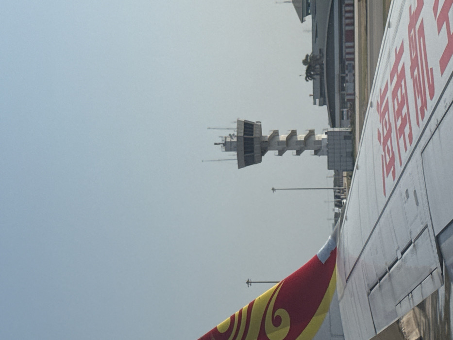
The image displays an airport scene under a clear, light blue sky, consistent with a location within the Nong Prue Subdistrict vicinity, Thailand. In the foreground, the metallic grey right wing of an aircraft is visible, bearing red text (likely Chinese characters) on its upper surface. A portion of the aircraft's vertical stabilizer (tail fin), featuring a prominent red and gold/yellow swirl design, is also present above the wing. In the midground, a tall, grey air traffic control tower rises, equipped with a multi-faceted observation cab at its summit. This cab has numerous windows and is topped with various antennae and sensors. A distinctive spiral staircase descends along the exterior of the tower's shaft. To the right of the tower, multiple low-rise airport buildings with flat roofs are visible, interspersed with several palm trees. A paved airport apron or taxiway separates the aircraft from these structures, displaying faint red and white ground markings. Several slender light poles are distributed across the airport tarmac. No individuals are visible in the scene.
Symbol
F65CB
Volume
0
Creator
+$0.00
Revenue
+$0.00
TVL
$0.00
Loading AttnAds…