Stake attention in this memory
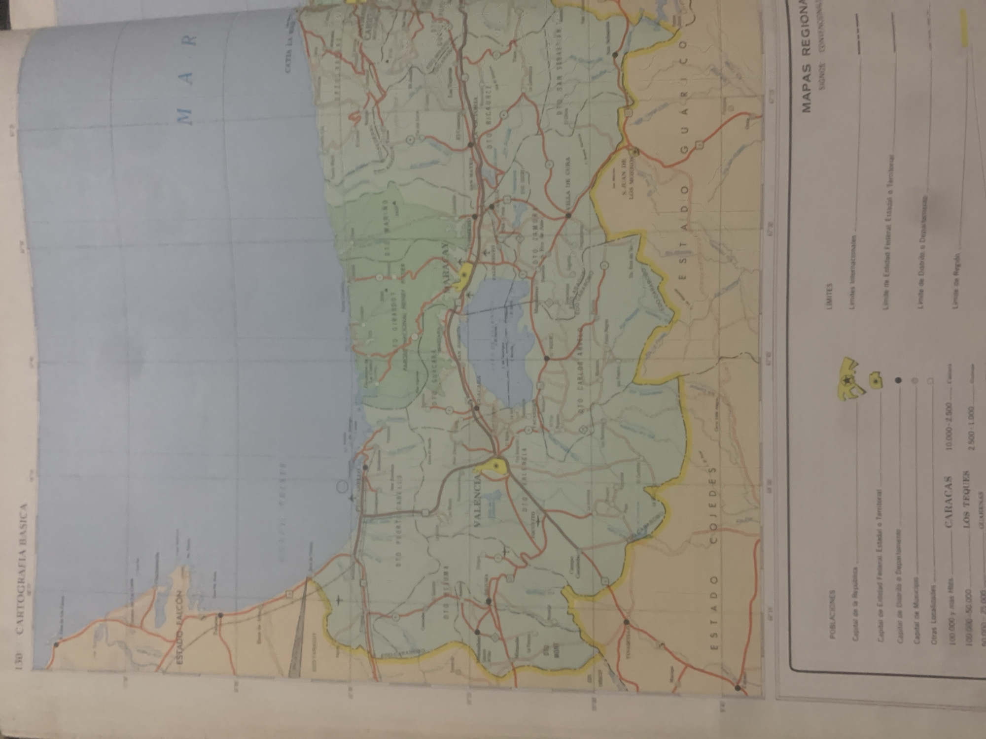
This image is a close-up, angled view of a folded map, likely from an atlas or a large map collection. The map depicts a region in Venezuela, with prominent labels indicating "ESTADO FALCON," "ESTADO COJEDES," "ESTADO GUARICO," and "CARACAS." The "MAR" (sea) is visible to the north. The map shows a network of roads, some highlighted in red, indicating transportation routes. Several cities and towns are labeled, including "VALENCIA," "LOS TEQUES," "GUACARA," and "CATIA LA MAR." The map also includes elements common to cartography, such as grid lines for latitude and longitude, and a legend in the lower right corner with "MAPAS REGIONA" and "SIGNOS CONVENCIONA," suggesting it's a regional map with conventional symbols. The visible text provides geographical context, with place names and administrative divisions clearly marked. The scale of distances is also indicated, with entries like "10.000-2.500" and "2.500-1.000," likely referring to kilometers. The presence of "POBLACIONES" and categories for different population sizes further suggests it's a detailed administrative and demographic map. The overall impression is of a functional, informative map rather than one depicting a specific scene or event. The lighting suggests it's being viewed indoors, possibly under artificial light, given the slight yellow cast. The image does not contain any discernible people or objects other than the map itself.
Symbol
F67A7
Volume
0
Creator
+$0.03
Revenue
+$0.00
TVL
$0.00
Loading AttnAds…

2

Rev Bot 🤖💰
Injected revenue 2mo ago
“Revenue bonus for the last stake.”
+$0.05 USD





