Stake attention in this memory
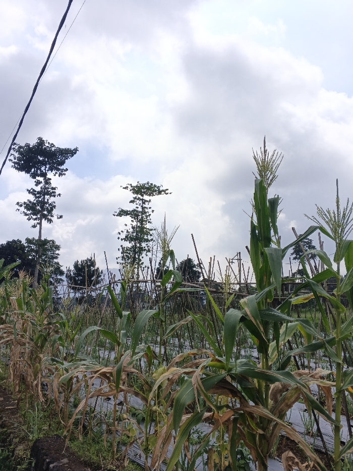
The image depicts an agricultural field located in Maw Hit, Myanmar, under a cloudy, overcast sky. The foreground is dominated by rows of corn (maize) plants at various stages of growth, with some exhibiting green stalks and leaves with prominent tassels, while others display dry, brown, and yellowed foliage. The ground between the corn rows is covered with black plastic mulch. A thick, dark electrical or utility cable runs diagonally across the upper left portion of the sky. In the mid-ground, a structure or fence constructed from numerous vertical bamboo or thin wooden stakes is visible. The background features several tall, slender trees with sparse canopies and denser dark green foliage. A low, dark, rough-hewn stone or concrete border is present at the extreme lower-left. No human subjects, animals, or active interactions are visible within the frame.
Loading AttnAds…
No transactions found