Stake attention in this memory
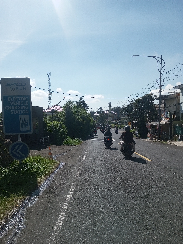
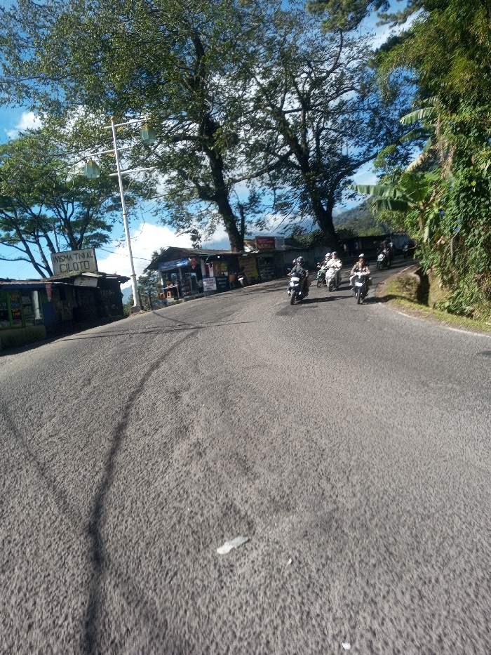
The image depicts a paved uphill road, consistent with a mountainous region such as Ka Thaung (Upper), Myanmar. The asphalt road surface shows textured imperfections and tire marks. Multiple individuals, approximately six to seven, are riding motorcycles uphill on the right side of the road, moving away from the viewer; all riders are wearing helmets. On the left side, several small, single-story roadside structures are visible, with one prominent sign reading "WISMA TINJAL CILOTO." A tall, white utility pole with horizontal crossbars and light fixtures stands near these structures. The right side of the road is bordered by a steep, heavily vegetated embankment. Large, leafy trees with dense canopies frame the upper portion of the scene, beneath a partly cloudy blue sky. A small, light-colored object rests on the road in the foreground.
Symbol
F6AAC
Volume
2,743
Creator
+$0.01
Revenue
+$0.00
TVL
$0.94