
Stake attention in this memory
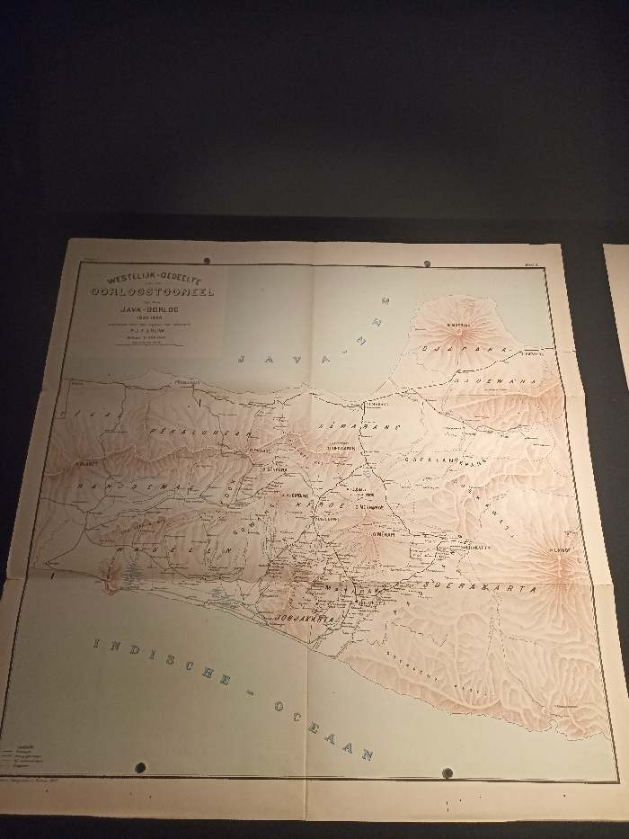
The image shows a vintage map, printed on paper with a slightly textured surface, of the western region of Java, Indonesia. The map appears to be from the early 20th century, as indicated by the title, "Westlijk-Gedeelte Oorlogstooneel Java-Oorlog 1920-1920" (Western Region War Theater Java War 1920-1920). The map is titled in Dutch, indicating its origin. The map is oriented with north at the top, and the scale is in kilometers. The map shows the topography of the area, with mountains, rivers, and coastal areas highlighted. Several cities are marked on the map, including Jakarta, Bogor, and Bandung. The map shows a large area of land, suggesting it represents an entire province or region, rather than a specific city. The map's colors are faded with age, but the details are still visible, showing the layout of the region. The map is framed and displayed on a wall, likely in a museum or historical archive. The geographical coordinates provided, -6.177 latitude and 106.823 longitude, pinpoint a location within the city of Central Jakarta, Indonesia, indicating the map was likely on display at a site in the city. The map represents a historical artifact and a valuable source of information about the region of Java in the early 20th century.
Loading AttnAds…
No transactions found