Stake attention in this memory
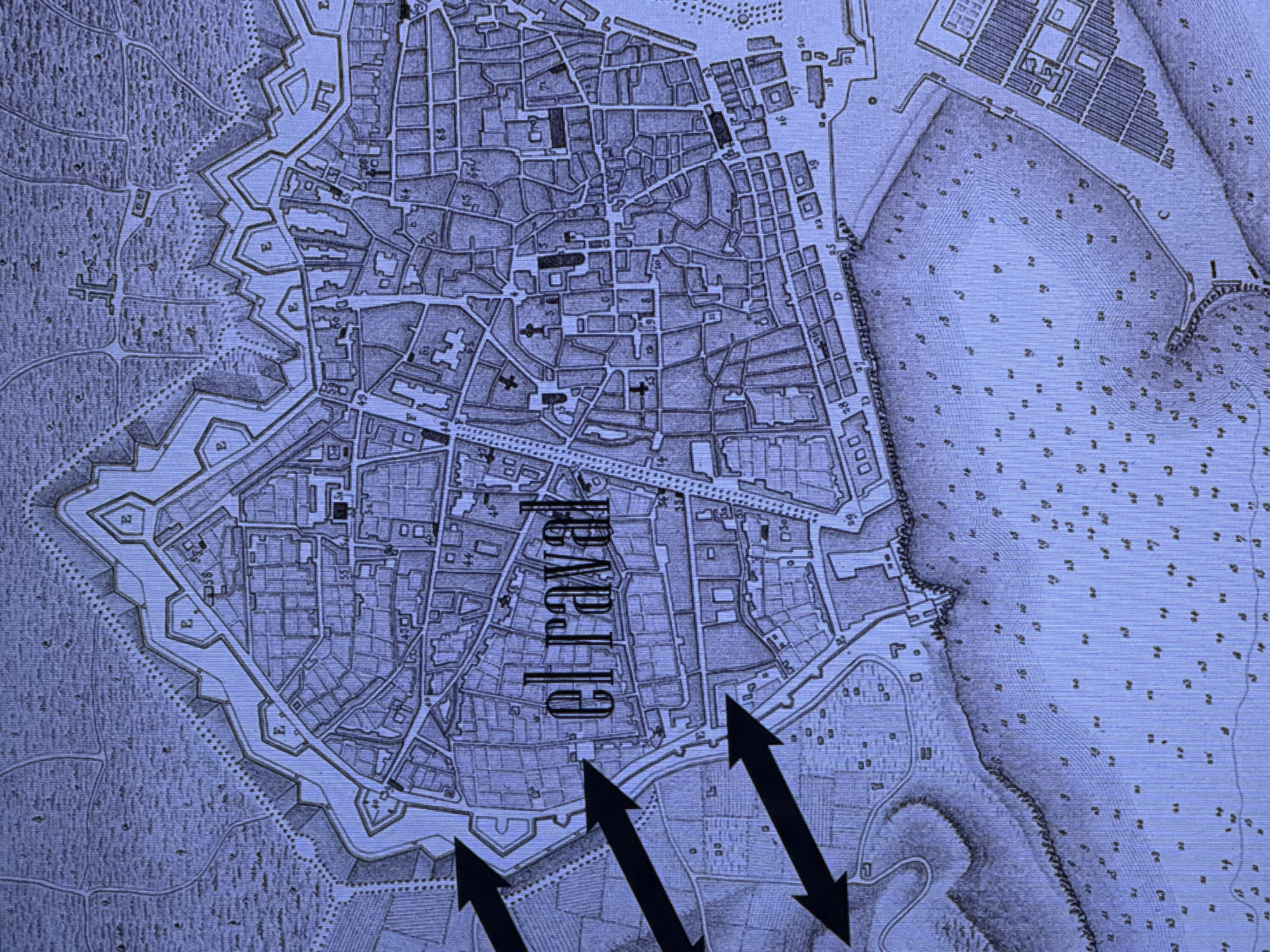
This media file is a scanned image of an old, sepia-toned map, possibly a historical city plan. The map displays a complex urban layout with densely packed buildings, streets, and fortifications. A prominent text label, "el raval," is superimposed vertically across the center of the map. Several large black arrows are drawn pointing upwards and diagonally across the lower portion of the image, suggesting movement or direction. The map itself is detailed, showing individual structures, walls, and what appear to be geographical features like hills or bodies of water outside the fortified areas. The overall impression is one of historical documentation and perhaps strategic planning or analysis due to the arrows. There is no indication of people, specific times of day, weather, or emotions. The text visible, other than "el raval," consists of numbers and letters scattered throughout the map, likely labels or coordinates. Given the lack of modern features and the style of cartography, the map appears to depict a location from a much earlier historical period. The provided location context of Dubai, United Arab Emirates, is incongruent with the visual content of the map, which shows a European-style fortified city.
No transactions found