Stake attention in this memory
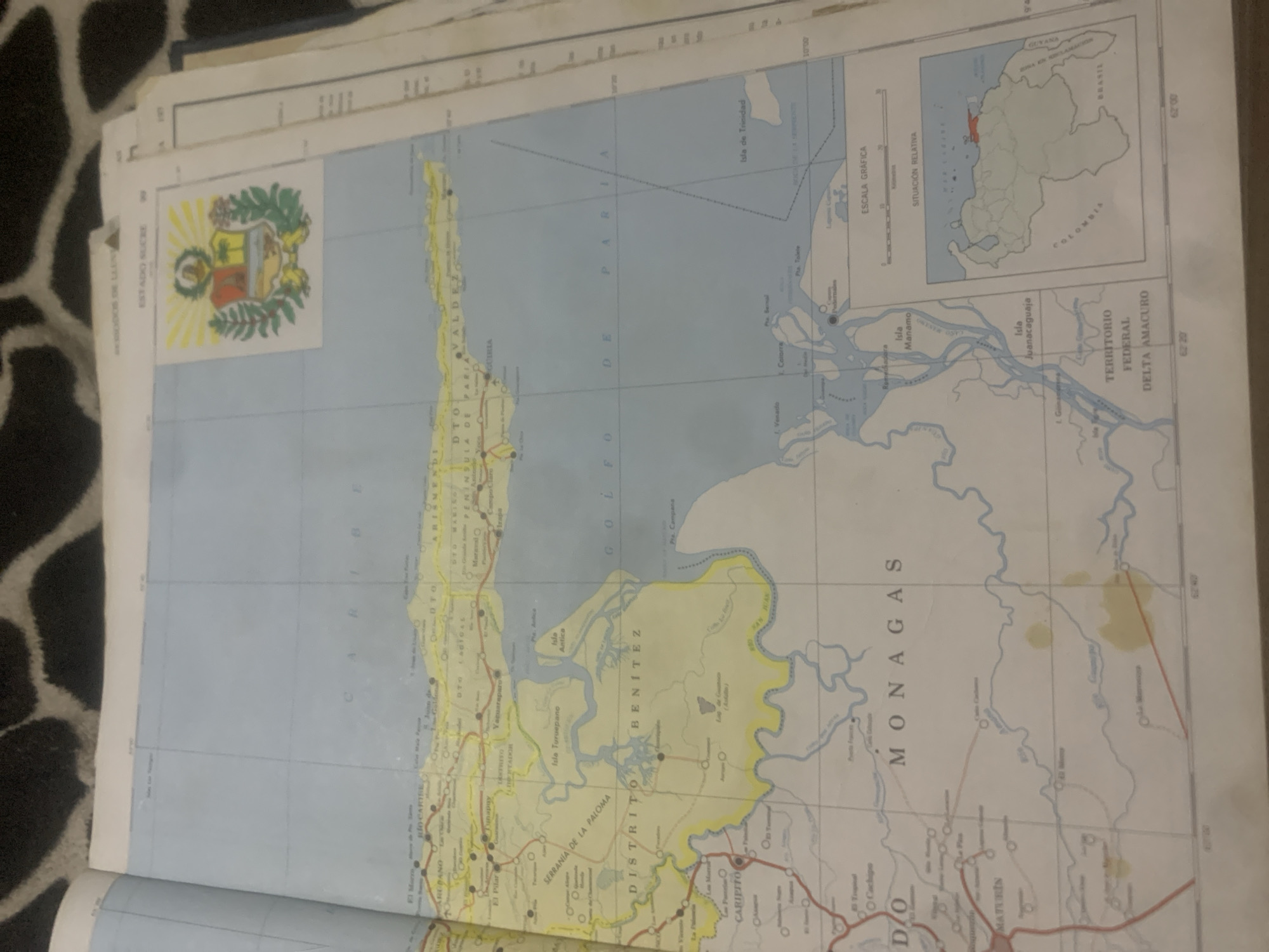
This is an image of a map of Venezuela, specifically focusing on the Sucre and Delta Amacuro states, with a portion of the Caribbean Sea visible. The map is laid flat, possibly on a patterned surface like a rug. The map itself displays topographical features, bodies of water, and populated areas marked with circles and names. Several place names are visible in Spanish, including "ESTADO SUCRE," "DISTRITO BENITEZ," "MONAGAS," and "TERRITORIO FEDERAL DELTA AMACURO." There is also a smaller inset map showing the relative location of Venezuela within South America, with neighboring countries like Brazil, Guyana, and Colombia indicated. A coat of arms is visible in the upper left corner of the map. The map shows a geographical depiction of the region, with lines indicating roads or administrative boundaries. The overall scene is that of an informational map.
Loading AttnAds…
No transactions found





