
Stake attention in this memory
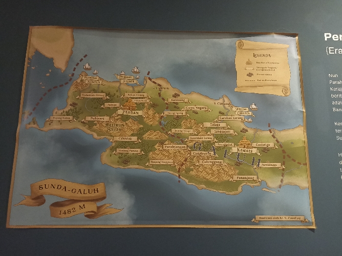
The image shows a hand-drawn map of the Sunda-Galuh kingdom. It is a large, colorful map with brown outlines and green, brown, and blue shading, and it depicts various geographic features, including mountains, rivers, and seas. There are several ships drawn along the coasts. There is also a legend at the top right of the map. The map is mounted on a blue wall. It is a museum exhibit at the Museum of the Sunda-Galuh Kingdom located in the city of Bogor, Indonesia, at coordinates -6.596 latitude and 106.793 longitude. The map has the words "Sunda-Galuh" written on it in cursive letters. It also says "1482 M" on it, which is likely the height of the mountain. The map also depicts many locations and names of specific places, but these are written in a language that is not English, and therefore, cannot be identified.
Loading AttnAds…
No transactions found