Stake attention in this memory
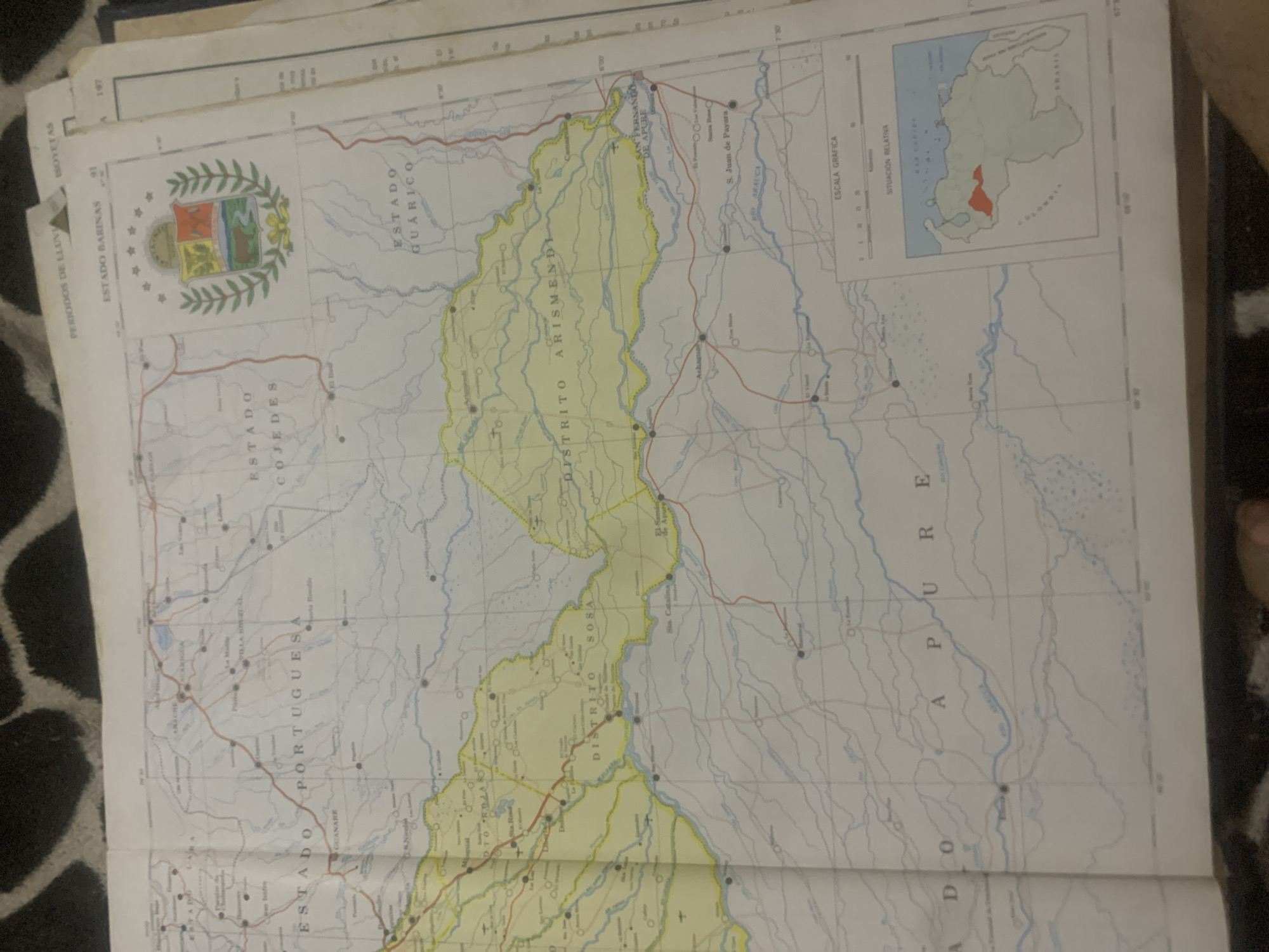
The image is a section of a map of Venezuela, likely from an atlas or gazetteer. It shows various states and districts within Venezuela, including "ESTADO PORTUGUESA", "ESTADO COJEDES", "ESTADO GUARICO", and "DISTRITO SOSA", "DISTRITO ARISMENDI". The map details rivers, roads, and settlements, with some place names visible such as "GUANARE", "SAN FERNANDO DE APURE", and "S. Juan de Payara". A small inset map in the lower right corner shows the relative location of the depicted region within Venezuela. The map is presented in a landscape orientation and is slightly tilted, with a portion of what appears to be a black and white patterned fabric visible in the foreground, obscuring the bottom edge. There are no people or discernible actions depicted in the image; it is purely a cartographic representation. The city of La Tagua is not explicitly labeled on the visible portion of this map.
Loading AttnAds…
No transactions found





