Sign in
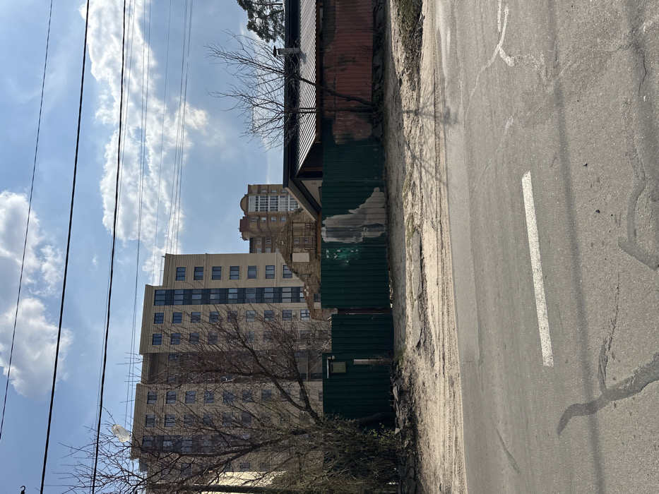
The image shows a street in Horenka, Ukraine (latitude: 50.525, longitude: 30.241) with a paved asphalt road in the foreground.  The road is flanked by a sandy shoulder on each side. A green metal fence runs along the shoulder on the right side of the image. Behind the fence is a  partially destroyed building with a red metal roof, a beige building, and a green tree on the left.  The sky is partially cloudy. There is a white painted lane marker on the road.  There are no people visible in the image.  The scene appears peaceful and abandoned.
Ksy

Mar 27, 2025, 11:46 AM

Horenka, Ukraine

Stake attention in this memory

abandoned
forgotten
sad
empty
solitary

The image shows a street in Horenka, Ukraine (latitude: 50.525, longitude: 30.241) with a paved asphalt road in the foreground. The road is flanked by a sandy shoulder on each side. A green metal fence runs along the shoulder on the right side of the image. Behind the fence is a partially destroyed building with a red metal roof, a beige building, and a green tree on the left. The sky is partially cloudy. There is a white painted lane marker on the road. There are no people visible in the image. The scene appears peaceful and abandoned.

Loading AttnAds…

transactions
revenues
stakers
Earliest
Latest
Highest stake

No transactions found
More from this user

More from Horenka

Ksy

Mar 27, 2025, 11:46 AM

Horenka, Ukraine

Licensed under Creative Commons Attribution 4.0 International License. You are free to share and adapt this content with proper attribution.